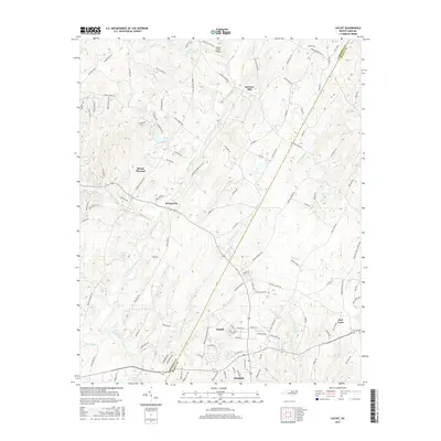
2016 Map of Locust
USGS Topo · Published 2016About this map
Rocky River and Dutch Buffalo Cr carve through the landscape of the western Piedmont, framing a region defined by scattered agricultural settlements and small-town centers. This area spans the border of Cabarrus Co and Stanly Co, where historic sites like Barriers Mill and Georgeville speak to a long-standing rural economy. The mapping of Locust and Stanfield reveals the modern layout of these established communities, which grew along the local road networks and small watercourses such as Little Meadow Cr and Stony Run. Further east, the settlement of Red Cross serves as another focal point for this landscape. Aviation history is also marked on this sheet by the Willow Creek Airport, situated north of the more densely settled areas. From the waters of Oak Cliff Lake to the outskirts of Mount Pleasant, the map provides a look at the residential and rural patterns in North Carolina.
Find a feature on this map
117 named features on this map. Tap any name to fly to it.
Don’t see what you’re looking for? This feature index may not catch every label — zoom into the map to look around manually.
Map Details
Editions of this 2016 Locust Map
This is the sole edition of this map. No revisions or reprints were ever made.
Other maps of this area

1941 · Charlotte
USGS Topo · 1:125,000

1942 · Charlotte
USGS Topo · 1:125,000

1949 · Midland
USGS Topo · 1:24,000

1949 · Concord SE
USGS Topo · 1:24,000

1950 · Concord
USGS Topo · 1:24,000

1953 · Charlotte
USGS Topo · 1:250,000

1954 · Charlotte
USGS Topo · 1:250,000

1957 · Mount Pleasant
USGS Topo · 1:62,500

1960 · Charlotte
USGS Topo · 1:250,000

1962 · Charlotte
USGS Topo · 1:250,000