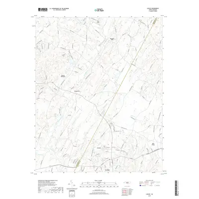
2019 Map of Locust
USGS Topo · Published 2019About this map
Rocky River and Dutch Buffalo Cr converge in this Piedmont landscape, defining the boundaries and drainage of the region between Georgeville and Locust. The settlement pattern follows the high ground between these watercourses, with Stanfield and Red Cross anchoring the southern and eastern reaches. A notable concentration of small lakes and reservoirs, such as Furr Lake, Smiths Lake, and Oak Cliff Lake, points to the agricultural and residential development typical of this part of the state. The inclusion of the Pharr Family Preserve Trail along the riverbanks highlights modern conservation efforts in an area historically shaped by milling, as evidenced by the namesake Barriers Mill to the north. Surveyed in the late 2010s, the map provides a look at the suburban expansion and the intricate network of secondary roads, like Barrier Georgeville Rd, that connect these historically distinct communities.
Find a feature on this map
124 named features on this map. Tap any name to fly to it.
Don’t see what you’re looking for? This feature index may not catch every label — zoom into the map to look around manually.
Map Details
Editions of this 2019 Locust Map
This is the sole edition of this map. No revisions or reprints were ever made.
Other maps of this area

1941 · Charlotte
USGS Topo · 1:125,000

1942 · Charlotte
USGS Topo · 1:125,000

1949 · Midland
USGS Topo · 1:24,000

1949 · Concord SE
USGS Topo · 1:24,000

1950 · Concord
USGS Topo · 1:24,000

1953 · Charlotte
USGS Topo · 1:250,000

1954 · Charlotte
USGS Topo · 1:250,000

1957 · Mount Pleasant
USGS Topo · 1:62,500

1960 · Charlotte
USGS Topo · 1:250,000

1962 · Charlotte
USGS Topo · 1:250,000