2022 Map of Locust
USGS Topo · Published 2022About this map
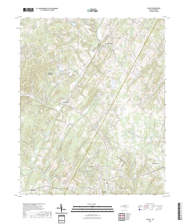
The Cabarrus and Stanly county line bisects this landscape where the Rocky River and Dutch Buffalo Creek carve through the North Carolina Piedmont. The area is defined by a network of small crossroad settlements and historic landing strips, including the Willow Creek Airport, Wolf Pit Airport, and Reed Mine Airport. To the south, the neighboring towns of Locust and Stanfield serve as local hubs, while Mount Pleasant and Georgeville anchor the northern and central sections. The terrain is crisscrossed by family-named routes such as Barrier Store Road and Joe Bost Road, reflecting a long history of local land ownership. Water remains a central feature of the topography, with Meadow Creek and Running Creek feeding into the larger river systems, supporting rural homesteads and early industrial sites like Barriers Mill.
Find a feature on this map
129 named features on this map. Tap any name to fly to it.
Don’t see what you’re looking for? This feature index may not catch every label — zoom into the map to look around manually.
Map Details
Editions of this 2022 Locust Map
This is the sole edition of this map. No revisions or reprints were ever made.