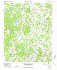
1980 Map of Locust
USGS Topo · Published 1981About this map
The Reed Gold Mine (Historic Site) anchors the southwestern portion of this landscape, marking the site where the first documented gold discovery in the United States occurred. The terrain is defined by the winding course of the Rocky River and its numerous tributaries, including Dutch Buffalo Creek and Meadow Creek. The border between Cabarrus Co and Stanly Co bisects the region, connecting small community hubs such as Locust, Stanfield, and Georgeville.
Find a feature on this map
33 named features on this map. Tap any name to fly to it.
Don’t see what you’re looking for? This feature index may not catch every label — zoom into the map to look around manually.
Map Details
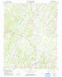
Editions of this 1980 Locust Map
2 editions found
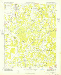
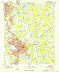
Other maps of this area

1941 · Charlotte
USGS Topo · 1:125,000

1942 · Charlotte
USGS Topo · 1:125,000

1949 · Midland
USGS Topo · 1:24,000
1949 · Concord SE
USGS Topo · 1:24,000
1950 · Concord
USGS Topo · 1:24,000

1953 · Charlotte
USGS Topo · 1:250,000

1954 · Charlotte
USGS Topo · 1:250,000

1957 · Mount Pleasant
USGS Topo · 1:62,500

1960 · Charlotte
USGS Topo · 1:250,000

1962 · Charlotte
USGS Topo · 1:250,000