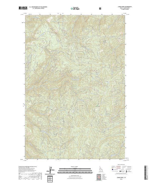
2024 Map of Lodge Point
USGS Topo · Published 2024About this map
Nez Perce National Forest dominates this landscape in Idaho County, where the terrain is defined by a series of prominent high points and a complex network of drainage basins. The survey highlights Lookout Butte and Lodge Point as significant landmarks overlooking the deep-cut valleys formed by Clear Creek and its many tributaries, such as Middle Fork Clear Creek and Solo Creek. The land is traversed by numerous forest development routes, including the Lookout Butte Rd and Natl Forest Develop Road 286 Rd, reflecting the management and access patterns within this protected timberland. Further north, the elevation rises toward Pine Knob, while the eastern portion is drained by Swiftwater Creek and Goddard Creek. This modern survey records the hydrography of the Hamby Fork and Kay Creek, providing a detailed view of the water resources and topographic features within the Idaho wilderness.
Find a feature on this map
29 named features on this map. Tap any name to fly to it.
Don’t see what you’re looking for? This feature index may not catch every label — zoom into the map to look around manually.
Map Details
Editions of this 2024 Lodge Point Map
This is the sole edition of this map. No revisions or reprints were ever made.
Other maps of this area

1924 · Weippe
USGS Topo · 1:125,000

1931 · Buffalo Hump
USGS Topo · 1:125,000

1934 · Buffalo Hump
USGS Topo · 1:125,000

1956 · Elk City
USGS Topo · 1:250,000

1956 · Hamilton
USGS Topo · 1:250,000

1959 · Hamilton
USGS Topo · 1:250,000

1960 · Elk City
USGS Topo · 1:250,000

1960 · Hamilton
USGS Topo · 1:250,000

1962 · Iron Mtn
USGS Topo · 1:24,000

1962 · Pilot Knob
USGS Topo · 1:24,000