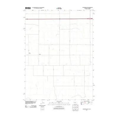
2010 Map of Lodgepole SW
USGS Topo · Published 2010About this map
Czech Slovensky Cemetery and Swankee Cemetery sit among the high plains of Logan County, marking the cultural footprint of early immigrant families in this Nebraska-Colorado borderland. The landscape is defined by a strictly rectangular grid of rural routes, including Road 137 and Road 139, which cut across the natural drainage patterns of the region. The intermittent flows of Cow Creek and Cottonwood Creek wander through the surveyed sections, providing the only break in the geometric regularity of the section lines. This area represents a deeply established agricultural district where the placement of small community burial grounds provides some of the few remaining links to the specific families who settled this corner of the High Plains.
Find a feature on this map
19 named features on this map. Tap any name to fly to it.
Don’t see what you’re looking for? This feature index may not catch every label — zoom into the map to look around manually.
Map Details
Editions of this 2010 Lodgepole SW Map
This is the sole edition of this map. No revisions or reprints were ever made.
Other maps of this area

1899 · Sidney
USGS Topo · 1:125,000

1953 · Twin Buttes
USGS Topo · 1:24,000

1953 · Julesburg Reservoir
USGS Topo · 1:24,000

1953 · Sedgwick
USGS Topo · 1:24,000

1954 · Sterling
USGS Topo · 1:250,000

1954 · Scottsbluff
USGS Topo · 1:250,000

1958 · Scottsbluff
USGS Topo · 1:250,000

1958 · Sterling
USGS Topo · 1:250,000
1971 · Twin Buttes
USGS Topo · 1:24,000

1972 · Lodgepole
USGS Topo · 1:24,000