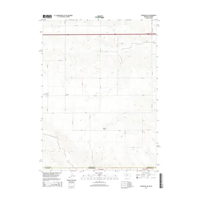
2014 Map of Lodgepole SW
USGS Topo · Published 2014About this map
The high plains along the Nebraska and Colorado state line are defined by a regular grid of section roads and the winding drainage of Cow Creek. This landscape in Logan County and surrounding regions preserves small but significant markers of early settlement, most notably the Czech Slovensky Cem and the Swankee Cem. These burial grounds sit amidst a vast agricultural expanse where topographical features like Sedgwick Draw and Cottonwood Creek interrupt the otherwise orderly progression of numbered routes such as Road 10 and Road 141. The presence of these named cemeteries provides a specific link to the ethnic heritage and homesteading history of the families who worked this corner of the Great Plains.
Find a feature on this map
27 named features on this map. Tap any name to fly to it.
Don’t see what you’re looking for? This feature index may not catch every label — zoom into the map to look around manually.
Map Details
Editions of this 2014 Lodgepole SW Map
This is the sole edition of this map. No revisions or reprints were ever made.
Other maps of this area

1899 · Sidney
USGS Topo · 1:125,000

1953 · Twin Buttes
USGS Topo · 1:24,000

1953 · Julesburg Reservoir
USGS Topo · 1:24,000

1953 · Sedgwick
USGS Topo · 1:24,000

1954 · Sterling
USGS Topo · 1:250,000

1954 · Scottsbluff
USGS Topo · 1:250,000

1958 · Scottsbluff
USGS Topo · 1:250,000

1958 · Sterling
USGS Topo · 1:250,000
1971 · Twin Buttes
USGS Topo · 1:24,000

1972 · Lodgepole
USGS Topo · 1:24,000