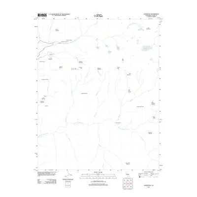
2012 Map of Lodgepole
USGS Topo · Published 2012About this map
Lodgepole and its surrounding high-elevation meadows form the core of this landscape along the Marble Fork Kaweah River. The 2012 survey illustrates a region defined by dramatic vertical relief and water, where the river descends through Tokopah Valley past Tokopah Falls. Glacial features are prominent, including a cluster of alpine basins containing Pear Lake, Aster Lake, and Emerald Lake beneath the towering Alta Peak.
Find a feature on this map
51 named features on this map. Tap any name to fly to it.
Don’t see what you’re looking for? This feature index may not catch every label — zoom into the map to look around manually.
Map Details
Editions of this 2012 Lodgepole Map
This is the sole edition of this map. No revisions or reprints were ever made.
Other maps of this area

1903 · Tehipite
USGS Topo · 1:125,000

1904 · Kaweah
USGS Topo · 1:125,000

1905 · Tehipite
USGS Topo · 1:125,000

1909 · Kaweah
USGS Topo · 1:125,000

1937 · Kaweah
USGS Topo · 1:125,000

1948 · Fresno
USGS Topo · 1:250,000

1955 · Fresno
USGS Topo · 1:250,000

1956 · Fresno
USGS Topo · 1:250,000

1956 · Giant Forest
USGS Topo · 1:62,500

1956 · Mineral King
USGS Topo · 1:62,500