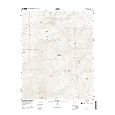
2015 Map of Lodgepole
USGS Topo · Published 2015About this map
Sequoia National Park encompasses this high-elevation landscape in the Sierra Nevada mountains, defined by deep canyons and prominent granite summits. The hydrology is dominated by the Marble Fork Kaweah River and Middle Fork Kaweah River, which drain through a series of alpine basins containing Pear Lake, Heather Lake, and Emerald Lake. The map illustrates a vertical landscape where peaks like Alta Peak and Panther Peak overlook diverse clearings such as Redwood Meadow and Long Meadow. A network of glacial and river-carved features is visible, including the dramatic Tokopah Falls and the steep walls of Buck Canyon. While human infrastructure is limited to corridors like Wolverton Rd, the map documents numerous distinct groves and landmarks such as the Congress Group and Castle Rocks.
Find a feature on this map
51 named features on this map. Tap any name to fly to it.
Don’t see what you’re looking for? This feature index may not catch every label — zoom into the map to look around manually.
Map Details
Editions of this 2015 Lodgepole Map
This is the sole edition of this map. No revisions or reprints were ever made.
Other maps of this area

1903 · Tehipite
USGS Topo · 1:125,000

1904 · Kaweah
USGS Topo · 1:125,000

1905 · Tehipite
USGS Topo · 1:125,000

1909 · Kaweah
USGS Topo · 1:125,000

1937 · Kaweah
USGS Topo · 1:125,000

1948 · Fresno
USGS Topo · 1:250,000

1955 · Fresno
USGS Topo · 1:250,000

1956 · Fresno
USGS Topo · 1:250,000

1956 · Giant Forest
USGS Topo · 1:62,500

1956 · Mineral King
USGS Topo · 1:62,500