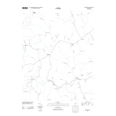
2013 Map of Lodiburg
USGS Topo · Published 2013About this map
Union Star and Lodiburg anchor this rural landscape in Breckinridge County, where the topography is defined by the winding paths of Sugar Tree Run and Sinking Creek. The settlement pattern reflects a deeply rooted community, with numerous family-named landmarks and historical burial grounds such as Shelman Cemetery and Bruner Cemetery situated on Bruner Ridge. The transport network of 2013 relies on narrow local roads that follow the drainage patterns of the hollows, including Argabright Hollow and Newhope Hollow. Small hamlets like Mystic, Sample, and Ammons punctuate the intersections, while northern reaches of the quadrangle feature Manning Crossing near Yellowbank Creek. This map captures the agricultural and residential character of the region, preserving the names of local routes like Helm Lewis Road and Jasper Bruce Road that connect isolated farmsteads.
Find a feature on this map
72 named features on this map. Tap any name to fly to it.
Don’t see what you’re looking for? This feature index may not catch every label — zoom into the map to look around manually.
Map Details
Editions of this 2013 Lodiburg Map
This is the sole edition of this map. No revisions or reprints were ever made.
Other maps of this area

1928 · Hardinsburg
USGS Topo · 1:48,000

1931 · Hardinsburg
USGS Topo · 1:62,500

1934 · Cannelton
USGS Topo · 1:62,500

1947 · Irvington
USGS Topo · 1:24,000

1947 · Lodiburg
USGS Topo · 1:24,000

1947 · Hardinsburg
USGS Topo · 1:24,000

1947 · Garfield
USGS Topo · 1:24,000

1947 · Hardinsburg
USGS Topo · 1:62,500
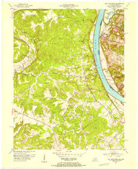
1950 · New Amsterdam
USGS Topo · 1:24,000

1950 · Alton
USGS Topo · 1:62,500