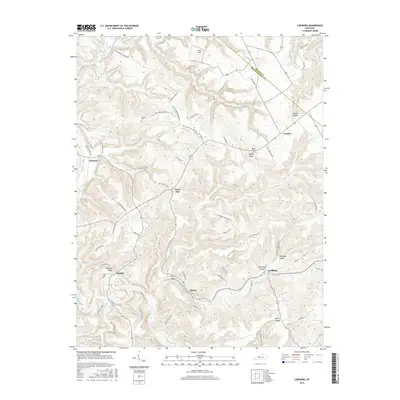
2016 Map of Lodiburg
USGS Topo · Published 2016About this map
Union Star and Lodiburg serve as central points in this rural landscape near the Meade and Breckinridge County line. The terrain is defined by a series of deep hollows and ridges, including Argabright Hollow, Newhope Hollow, and Bruner Ridge, which dictate the winding paths of local roads like Lodiburg-Union Star Rd. Significant for genealogical research, several family-linked burial sites are noted throughout the area, such as Shelman Cem, Bruner Cem, and Jolly Cem.
Find a feature on this map
66 named features on this map. Tap any name to fly to it.
Don’t see what you’re looking for? This feature index may not catch every label — zoom into the map to look around manually.
Map Details
Editions of this 2016 Lodiburg Map
This is the sole edition of this map. No revisions or reprints were ever made.
Other maps of this area

1928 · Hardinsburg
USGS Topo · 1:48,000

1931 · Hardinsburg
USGS Topo · 1:62,500

1934 · Cannelton
USGS Topo · 1:62,500

1947 · Irvington
USGS Topo · 1:24,000

1947 · Lodiburg
USGS Topo · 1:24,000

1947 · Hardinsburg
USGS Topo · 1:24,000

1947 · Garfield
USGS Topo · 1:24,000

1947 · Hardinsburg
USGS Topo · 1:62,500
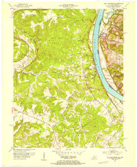
1950 · New Amsterdam
USGS Topo · 1:24,000

1950 · Alton
USGS Topo · 1:62,500