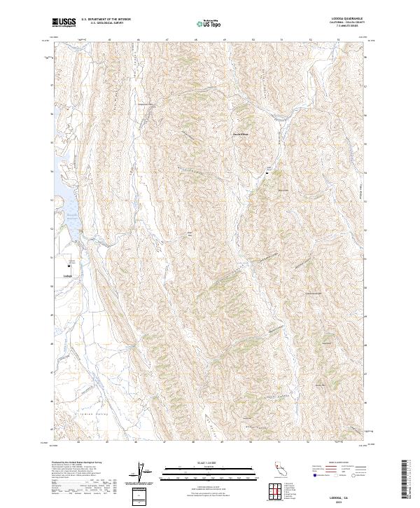
2023 Map of Lodoga
USGS Topo · Published 2023About this map
The settlement of Lodoga sits at the edge of the East Park Reservoir, anchored by the Cypress Hill Cem in this corner of Colusa County. The landscape is defined by its dramatic ridges and canyons, where the Indian Valley and High Valley offer pocketed areas of flatter ground amidst steep rises like Greasewood Mtn and Sugarloaf. Local history is etched into the terrain through solitary markers such as the Pryor Grave and topographic features named for early families or settlers, including Uncles Canyon and McDowell Canyon.
Find a feature on this map
49 named features on this map. Tap any name to fly to it.
Don’t see what you’re looking for? This feature index may not catch every label — zoom into the map to look around manually.
Map Details
Editions of this 2023 Lodoga Map
This is the sole edition of this map. No revisions or reprints were ever made.
Other maps of this area

1904 · Logan Creek
USGS Topo · 1:24,000

1904 · Sites
USGS Topo · 1:24,000

1905 · Fairview
USGS Topo · 1:24,000

1917 · Sites
USGS Topo · 1:31,680

1918 · Logan Creek
USGS Topo · 1:31,680

1920 · Venado
USGS Topo · 1:62,500

1924 · Bartlett Springs
USGS Topo · 1:62,500

1942 · Bartlett Springs
USGS Topo · 1:62,500

1943 · Lodoga
USGS Topo · 1:62,500

1944 · Bartlett Springs
USGS Topo · 1:62,500