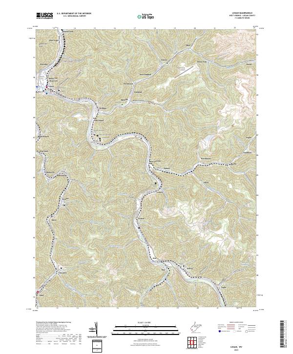
2023 Map of Logan
USGS Topo · Published 2023About this map
The Guyandotte River winds through this coal-country landscape, framing the county seat at Logan and the nearby Hatfield Island. This terrain is defined by steep ridges and narrow hollows, where dozens of small communities like Peach Creek, Stollings, and Monaville are tucked into the valley floors. The Logan County Courthouse serves as the civic anchor in a region deeply marked by its industrial and familial history, evidenced by the numerous family burial grounds such as the Hinchman Cem and George F Browning Cem scattered along the hillsides.
Find a feature on this map
124 named features on this map. Tap any name to fly to it.
Don’t see what you’re looking for? This feature index may not catch every label — zoom into the map to look around manually.
Map Details
Editions of this 2023 Logan Map
This is the sole edition of this map. No revisions or reprints were ever made.
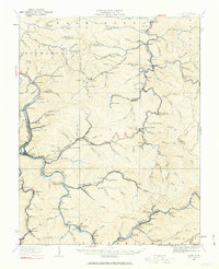
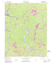
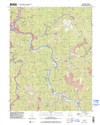
Historical Maps of Argyle Through Time
6 maps found