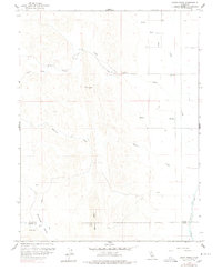
1958 Map of Logan Ridge
USGS Topo · Published 1978About this map
Logan Ridge dominates this 1958 survey, forming a prominent north-south spine that divides the drainage systems along the border of Glenn and Colusa counties. To the west, the landscape is defined by the steep relief of the ridge and its associated valleys, including Grapevine Valley and the rugged catchments of Antelope Creek and Funks Creek. This western portion contrast sharply with the eastern lowlands, where the terrain flattens toward the Sacramento Valley.
Find a feature on this map
15 named features on this map. Tap any name to fly to it.
Don’t see what you’re looking for? This feature index may not catch every label — zoom into the map to look around manually.
Map Details
Editions of this 1958 Logan Ridge Map
2 editions found
Other maps of this area

1904 · Logan Creek
USGS Topo · 1:24,000

1904 · Sites
USGS Topo · 1:24,000

1906 · Maxwell
USGS Topo · 1:62,500

1906 · Willows
USGS Topo · 1:62,500

1917 · Kurand
USGS Topo · 1:31,680

1917 · Lyman
USGS Topo · 1:31,680

1917 · Logandale
USGS Topo · 1:31,680

1917 · Sites
USGS Topo · 1:31,680

1917 · Delevan
USGS Topo · 1:31,680

1918 · Logan Creek
USGS Topo · 1:31,680