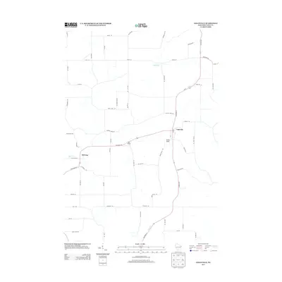
2013 Map of Loganville
USGS Topo · Published 2013About this map
Loganville serves as the central hub of this agricultural landscape in Sauk County, positioned at the intersection of State Road 23 and State Road 154. The terrain is defined by a series of ridges and valleys, with drainage patterns shaped by Honey Cr in the south and Hill Point Cr to the west. Small settlements like Hill Point and Ela Valley anchor the rural road network, which follows the contours of the land rather than a strict grid, illustrating how topography dictates movement in this part of Wisconsin. Numerous family-named roads such as Meyer Rd, Hinze Rd, and Thieman Hill Rd suggest deep-rooted land ownership patterns. The presence of 1 Reservoir and the naming of Spring Valley further highlight the importance of water management in this upland environment.
Find a feature on this map
56 named features on this map. Tap any name to fly to it.
Don’t see what you’re looking for? This feature index may not catch every label — zoom into the map to look around manually.
Map Details
Editions of this 2013 Loganville Map
This is the sole edition of this map. No revisions or reprints were ever made.
Other maps of this area

1901 · Denzer
USGS Topo · 1:62,500

1901 · The Dells
USGS Topo · 1:62,500

1905 · Richland Center
USGS Topo · 1:125,000

1956 · Reedsburg
USGS Topo · 1:62,500

1957 · Wisconsin Dells
USGS Topo · 1:62,500

1957 · Madison
USGS Topo · 1:250,000

1958 · North Freedom
USGS Topo · 1:62,500

1958 · La Crosse
USGS Topo · 1:250,000

1960 · Madison
USGS Topo · 1:250,000

1960 · Plain
USGS Topo · 1:62,500