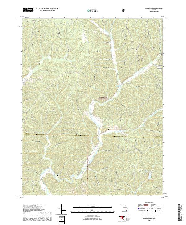
2021 Map of Loggers Lake
USGS Topo · Published 2021About this map
Mark Twain National Forest dominates this landscape along the Dent and Shannon County line, where the terrain is deeply carved by a dense network of hollows. Named for early families and local landmarks, these drainages such as Dead Horse Hollow and Savage Hollow feed into the perennial flow of Sinking Creek. The geography reflects a quiet, rural character defined by timber and small-scale agriculture, with several family cemeteries providing vital links for genealogists and local historians. Family burial sites including Chatman Cem, Hanning Cem, and Swiney Cem are tucked away near the valleys. To the east, Loggers Lake and its surrounding watershed illustrate the region's long-standing connection to the forest products industry and natural resource management. This map records the road networks of the 21st century, such as State Hwy A, while preserving the location of older landmarks like Falk Mill Hollow.
Find a feature on this map
68 named features on this map. Tap any name to fly to it.
Don’t see what you’re looking for? This feature index may not catch every label — zoom into the map to look around manually.
Map Details
Editions of this 2021 Loggers Lake Map
This is the sole edition of this map. No revisions or reprints were ever made.
Other maps of this area

1941 · Stone Hill
USGS Topo · 1:62,500

1943 · Boss
USGS Topo · 1:62,500

1944 · Corridon
USGS Topo · 1:62,500

1945 · Stone Hill
USGS Topo · 1:62,500

1945 · Round Spring
USGS Topo · 1:62,500

1946 · Boss
USGS Topo · 1:62,500

1947 · Sinkin
USGS Topo · 1:48,000

1947 · Corridon
USGS Topo · 1:62,500

1949 · Round Spring
USGS Topo · 1:62,500

1949 · Rolla
USGS Topo · 1:250,000