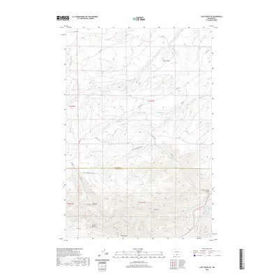
2020 Map of Logy Creek SW
USGS Topo · Published 2020About this map
The Simcoe Mountains dominate the southern reach of this landscape, culminating at the prominent Simcoe Butte. This high country is deeply incised by a network of drainage systems, including Telephone Canyon and the winding Wilson Charley Canyon. The map reveals a complex hydraulic pattern where numerous forks of Kusshi Cr and Yatama Cr descend from the heights. Bureau of Indian Affairs (BIA) routes, such as Bia RD 79 and Bia RD 264, provide the primary infrastructure through the region's sharp relief. The presence of Section Corner Cr and the boundary between Yakima Co and Klickitat Co highlights the intersection of natural topography and administrative surveying in this part of Washington.
Find a feature on this map
32 named features on this map. Tap any name to fly to it.
Don’t see what you’re looking for? This feature index may not catch every label — zoom into the map to look around manually.
Map Details
Editions of this 2020 Logy Creek SW Map
This is the sole edition of this map. No revisions or reprints were ever made.
Other maps of this area

1937 · White Swan
USGS Topo · 1:125,000

1950 · Yakima
USGS Topo · 1:250,000

1953 · The Dalles
USGS Topo · 1:250,000

1956 · The Dalles
USGS Topo · 1:250,000

1957 · The Dalles
USGS Topo · 1:250,000

1957 · Goldendale
USGS Topo · 1:62,500

1957 · Satus Pass
USGS Topo · 1:62,500

1958 · Yakima
USGS Topo · 1:250,000

1961 · Yakima
USGS Topo · 1:250,000
1965 · Kusshi Creek
USGS Topo · 1:24,000