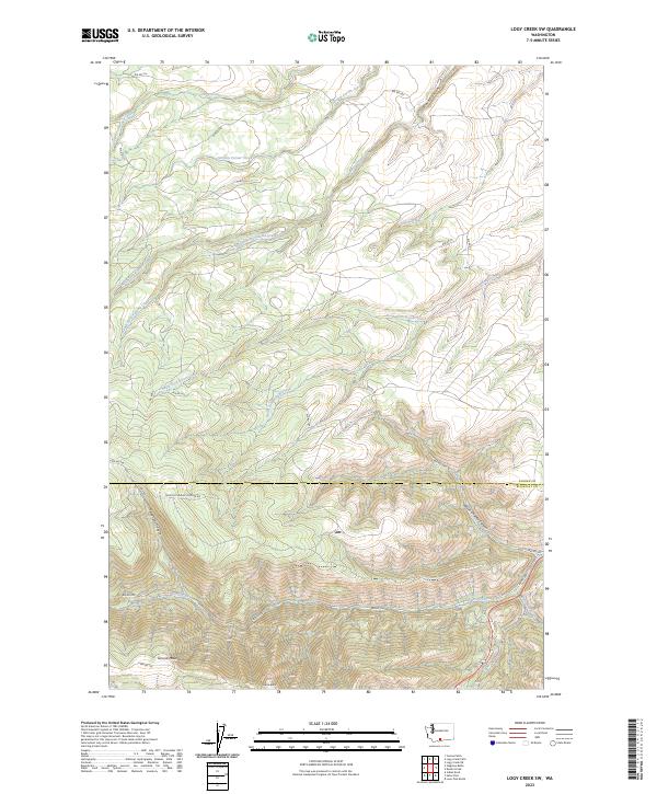
2023 Map of Logy Creek SW
USGS Topo · Published 2023About this map
Simcoe Mountain dominates the southern reaches of this landscape, rising above a network of canyons and high-altitude drainage systems. The terrain is defined by the sharp transition between the Yakima Co and Klickitat Co line, where the high ridges give way to deep incisions like Wilson Charley Canyon and Telephone Canyon. A complex web of Bureau of Indian Affairs (BIA) routes, including Bia RD 264 and Bia RD 284, provides access to these upland areas, tracing the paths of earlier livestock and resource trails.
Find a feature on this map
33 named features on this map. Tap any name to fly to it.
Don’t see what you’re looking for? This feature index may not catch every label — zoom into the map to look around manually.
Map Details
Editions of this 2023 Logy Creek SW Map
This is the sole edition of this map. No revisions or reprints were ever made.
Other maps of this area

1937 · White Swan
USGS Topo · 1:125,000

1950 · Yakima
USGS Topo · 1:250,000

1953 · The Dalles
USGS Topo · 1:250,000

1956 · The Dalles
USGS Topo · 1:250,000

1957 · The Dalles
USGS Topo · 1:250,000

1957 · Goldendale
USGS Topo · 1:62,500

1957 · Satus Pass
USGS Topo · 1:62,500

1958 · Yakima
USGS Topo · 1:250,000

1961 · Yakima
USGS Topo · 1:250,000
1965 · Kusshi Creek
USGS Topo · 1:24,000