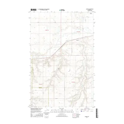
2017 Map of Lohman
USGS Topo · Published 2017About this map
Lohman sits along the northern banks of the Milk River in this northern Montana survey, where the valley floor transitions into the dissected uplands of the Great Plains. The landscape is defined by the sinuous path of the river and the dramatic erosional features of Redrock Coulee and Davey Coulee. The presence of the Blaine Co Hill Co line running through the western section provides a specific jurisdictional anchor for researchers. Rural infrastructure is extensively documented, from the established route of Old Hwy 2 to the network of section-line roads like Machinist Rd and Plainsman Trail Rd that service the surrounding agricultural tracts. Smaller watercourses like Clear Cr and Little Boxelder Cr carve through the southern portion, illustrating the drainage patterns that have shaped the ranching and farming operations of the region.
Find a feature on this map
25 named features on this map. Tap any name to fly to it.
Don’t see what you’re looking for? This feature index may not catch every label — zoom into the map to look around manually.
Map Details
Editions of this 2017 Lohman Map
This is the sole edition of this map. No revisions or reprints were ever made.
Other maps of this area

1904 · Yantic
USGS Topo · 1:62,500

1904 · Havre
USGS Topo · 1:62,500

1912 · Zurich
USGS Topo · 1:125,000

1912 · Thibedeau Lake
USGS Topo · 1:125,000

1953 · Havre
USGS Topo · 1:250,000

1956 · Lloyd
USGS Topo · 1:62,500

1957 · Havre
USGS Topo · 1:250,000

1958 · Havre
USGS Topo · 1:250,000

1959 · Shambo
USGS Topo · 1:62,500

1964 · Telescope Coulee
USGS Topo · 1:24,000