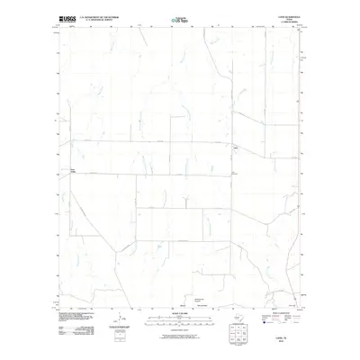
2010 Map of Lohn
USGS Topo · Published 2010About this map
Lohn and Pear Valley anchor this agricultural region in northern McCulloch County during the first decade of the 21st century. The landscape is defined by the northern slopes of the Brady Mountains, where the elevation drops into Cottonwood Canyon and a complex network of drainages. The hydrologic pattern is particularly distinctive, with the West Fork and East Fork of Big Elm Creek carving through the center of the sheet alongside Saddle Creek and Little Elm Creek. For genealogists and local historians, the Lohn Cemetery serves as a vital landmark near the town site. The road network, including the evocative Old Broadmoore, reflects the enduring rural structure of this part of Texas, where ranching and farming remained the primary use of the land as the modern era progressed.
Find a feature on this map
23 named features on this map. Tap any name to fly to it.
Don’t see what you’re looking for? This feature index may not catch every label — zoom into the map to look around manually.
Map Details
Editions of this 2010 Lohn Map
This is the sole edition of this map. No revisions or reprints were ever made.
Other maps of this area

1892 · Eden
USGS Topo · 1:125,000

1894 · Brady
USGS Topo · 1:125,000

1896 · Eden
USGS Topo · 1:125,000

1924 · Eden 1-a
USGS Topo · 1:48,000

1924 · Brady 2-a
USGS Topo · 1:48,000

1925 · Brady 2-b
USGS Topo · 1:48,000

1928 · Waldrip
USGS Topo · 1:62,500

1931 · Stacy
USGS Topo · 1:62,500

1954 · Brownwood
USGS Topo · 1:250,000

1960 · West Sweden
USGS Topo · 1:24,000