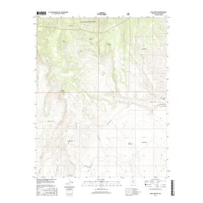
2017 Map of Loma Creston
USGS Topo · Published 2017About this map
Santa Fe National Forest encompasses the northern elevations of this high desert terrain, where the topography rises toward Loma Creston and Mesita Cocida. The landscape is defined by its dramatic drainage patterns, including the winding Arroyo Arenoso and deep incisions at Canovas Canyon and Borrego Canyon. A network of Bureau of Indian Affairs routes provides the primary access across the high plateau of Santa Ana Mesa, reflecting the complex land management of this region. Notable landmarks such as Bodega Butte and Bear Springs Canyon punctuate the arid vistas, while the inclusion of the Public Land Survey System grid and Indian Service Routes like Indian Svc Rte 76 highlights the intersections of federal, forest, and tribal lands in Sandoval County.
Find a feature on this map
19 named features on this map. Tap any name to fly to it.
Don’t see what you’re looking for? This feature index may not catch every label — zoom into the map to look around manually.
Map Details
Editions of this 2017 Loma Creston Map
This is the sole edition of this map. No revisions or reprints were ever made.
Other maps of this area

1888 · Bernalillo
USGS Topo · 1:125,000

1889 · Albuquerque
USGS Topo · 1:125,000

1890 · Jemes
USGS Topo · 1:125,000

1892 · San Pedro
USGS Topo · 1:125,000

1892 · Jemes
USGS Topo · 1:125,000

1892 · Santa Clara
USGS Topo · 1:125,000

1893 · Albuquerque
USGS Topo · 1:125,000

1943 · Jemez
USGS Topo · 1:62,500

1952 · Jemez
USGS Topo · 1:62,500

1953 · Santo Domingo Pueblo SW
USGS Topo · 1:24,000