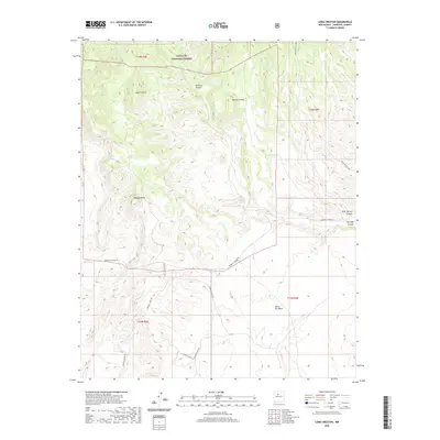
2020 Map of Loma Creston
USGS Topo · Published 2020About this map
The northern reaches of the Santa Fe National Forest dominate this landscape of high mesas and deep canyons in Sandoval County. The terrain is defined by dramatic elevation shifts, ranging from the flat expanses of Santa Ana Mesa to the prominent peak of Loma Creston. Water erosion has carved distinct features into the landscape, notably the broad drainage of Arroyo Arenosa and the steep walls of Canovas Canyon.
Find a feature on this map
18 named features on this map. Tap any name to fly to it.
Don’t see what you’re looking for? This feature index may not catch every label — zoom into the map to look around manually.
Map Details
Editions of this 2020 Loma Creston Map
This is the sole edition of this map. No revisions or reprints were ever made.
Other maps of this area

1888 · Bernalillo
USGS Topo · 1:125,000

1889 · Albuquerque
USGS Topo · 1:125,000

1890 · Jemes
USGS Topo · 1:125,000

1892 · San Pedro
USGS Topo · 1:125,000

1892 · Jemes
USGS Topo · 1:125,000

1892 · Santa Clara
USGS Topo · 1:125,000

1893 · Albuquerque
USGS Topo · 1:125,000

1943 · Jemez
USGS Topo · 1:62,500

1952 · Jemez
USGS Topo · 1:62,500

1953 · Santo Domingo Pueblo SW
USGS Topo · 1:24,000