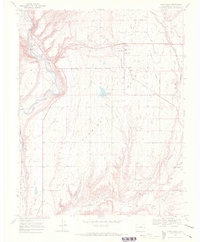
1968 Map of Loma Linda
USGS Topo · Published 1972About this map
Florida Mesa dominates the landscape south of the Animas River, where a complex network of irrigation ditches like the Florida Canal and Lone Pine Ditch supports the region's agriculture. The late 1960s witnessed a mixture of rural homesteads and emerging suburban developments such as Loma Linda and Piñon Acres. Transport and utility infrastructure is prominent, with the Denver and Rio Grande Western railroad skirting the mesa's edge near Carbon Junction, while the southern reaches feature the Ignacio Plant and several scattered gas wells. Local community life is anchored by the Florida Mesa Sch and the Crestview Memorial Garden. The eastern boundary is defined by the Florida River and the Southern Ute Indian Reservation Boundary, illustrating the intersection of natural water resources and historical land divisions.
Find a feature on this map
42 named features on this map. Tap any name to fly to it.
Don’t see what you’re looking for? This feature index may not catch every label — zoom into the map to look around manually.
Map Details
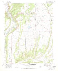
Editions of this 1968 Loma Linda Map
2 editions found
Other maps of this area

1898 · Durango
USGS Topo · 1:62,500

1907 · Durango
USGS Topo · 1:62,500

1908 · Ignacio
USGS Topo · 1:125,000

1908 · Durango
USGS Topo · 1:62,500

1924 · Ignacio
USGS Topo · 1:125,000

1945 · Durango
USGS Topo · 1:250,000

1953 · Durango
USGS Topo · 1:250,000

1954 · Durango
USGS Topo · 1:250,000

1961 · Durango
USGS Topo · 1:250,000

1963 · Durango
USGS Topo · 1:250,000