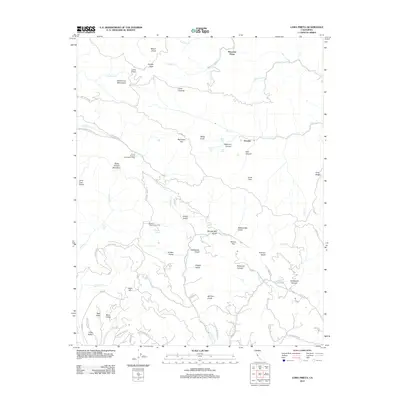
2012 Map of Loma Prieta
USGS Topo · Published 2012About this map
Loma Prieta stands as the dominant peak in this section of the Santa Cruz Mountains, overlooking a complex geography of deep canyons and seasonal watercourses. The landscape is defined by the headwaters of numerous creeks, including Llagas Cr, Soquel Cr, and Corralitos Cr, which carve through named terrain like Swanson Canyon and Redwood Canyon. Scattered through these elevations are unique cultural sites such as Sveadal and the Future Farmers of America Camp, indicating a long-standing use of the high country for organized retreats and agriculture-focused education.
Find a feature on this map
76 named features on this map. Tap any name to fly to it.
Don’t see what you’re looking for? This feature index may not catch every label — zoom into the map to look around manually.
Map Details
Editions of this 2012 Loma Prieta Map
This is the sole edition of this map. No revisions or reprints were ever made.
Other maps of this area

1912 · Capitola
USGS Topo · 1:62,500

1914 · Capitola
USGS Topo · 1:62,500

1915 · San Juan Bautista
USGS Topo · 1:48,000

1916 · New Almaden
USGS Topo · 1:48,000

1917 · Morgan Hill
USGS Topo · 1:62,500

1917 · San Juan Bautista
USGS Topo · 1:62,500

1919 · New Almaden
USGS Topo · 1:62,500

1939 · Morgan Hill
USGS Topo · 1:62,500

1939 · San Juan Bautista
USGS Topo · 1:62,500

1940 · San Juan Bautista
USGS Topo · 1:62,500