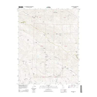
2015 Map of Loma Prieta
USGS Topo · Published 2015About this map
Loma Prieta and the surrounding Santa Cruz Mountains define this section of the range, where the San Andreas Fault cuts a distinct line through the deep canyons and ridges. This modern survey illustrates the complex topography near the border of Santa Clara Co and Santa Cruz Co, highlighting small communities like the Swedish cultural resort of Sveadal and the settlement of Day Valley.
Find a feature on this map
100 named features on this map. Tap any name to fly to it.
Don’t see what you’re looking for? This feature index may not catch every label — zoom into the map to look around manually.
Map Details
Editions of this 2015 Loma Prieta Map
This is the sole edition of this map. No revisions or reprints were ever made.
Other maps of this area

1912 · Capitola
USGS Topo · 1:62,500

1914 · Capitola
USGS Topo · 1:62,500

1915 · San Juan Bautista
USGS Topo · 1:48,000

1916 · New Almaden
USGS Topo · 1:48,000

1917 · Morgan Hill
USGS Topo · 1:62,500

1917 · San Juan Bautista
USGS Topo · 1:62,500

1919 · New Almaden
USGS Topo · 1:62,500

1939 · Morgan Hill
USGS Topo · 1:62,500

1939 · San Juan Bautista
USGS Topo · 1:62,500

1940 · San Juan Bautista
USGS Topo · 1:62,500