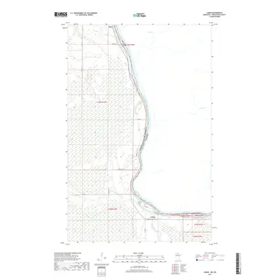
2019 Map of Loman
USGS Topo · Published 2019About this map
The Rainy River defines the international boundary between the United States and Canada in this northern borderland study. At the river's bend, the settlement of Loman serves as a local hub where the Black River and the West Fork Black River converge before joining the main channel. The landscape is characterized by extensive wetlands and low-lying river islands, including Smoot Island and Watrous Island. Near the confluence, the Riverside Cem provides a focal point for genealogical interest. Further north, the small settlement of Indus sits along the riverbank, connected by a network of rural routes such as Town Rd 111 and E Co Rd 83. The map illustrates the sparsely populated nature of Koochiching County, where drainage features like Wolf Cr and Locking Cr dominate the remote terrain.
Find a feature on this map
27 named features on this map. Tap any name to fly to it.
Don’t see what you’re looking for? This feature index may not catch every label — zoom into the map to look around manually.
Map Details
Editions of this 2019 Loman Map
This is the sole edition of this map. No revisions or reprints were ever made.
Other maps of this area

1919 · Pelland
USGS Topo · 1:62,500

1919 · Happy Land
USGS Topo · 1:62,500

1943 · Lindford
USGS Topo · 1:62,500

1954 · International Falls
USGS Topo · 1:250,000

1957 · International Falls
USGS Topo · 1:250,000

1958 · International Falls
USGS Topo · 1:250,000

1970 · Devlin
USGS Topo · 1:24,000
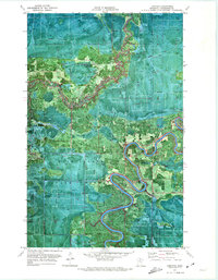
1970 · Lindford
USGS Topo · 1:24,000
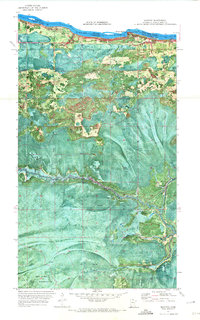
1970 · Manitou
USGS Topo · 1:24,000
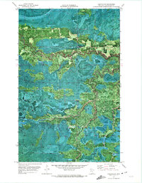
1970 · Lindford NW
USGS Topo · 1:24,000