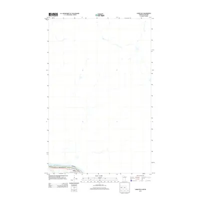
2013 Map of Loman OE N
USGS Topo · Published 2013About this map
Rainy River defines the southern boundary of this remote northern landscape, marking the international border between Koochiching County, Minnesota and Ontario, Canada. This 2013 survey provides a clear view of the rural settlement of Indus, where local history is anchored by the Indus Cem and a network of gravel tracks like Town Road 297. The geography here is dominated by low-lying wetlands and seasonal drainage patterns north of the river, reflecting the quiet, agricultural character of the borderlands. Researchers can trace the sparse development of this frontier region, noting how the few roads and community features are concentrated near the river corridor while the vast interior remains largely undeveloped wilderness.
Find a feature on this map
5 named features on this map. Tap any name to fly to it.
Don’t see what you’re looking for? This feature index may not catch every label — zoom into the map to look around manually.
Map Details
Editions of this 2013 Loman OE N Map
This is the sole edition of this map. No revisions or reprints were ever made.
Other maps of this area

1919 · Pelland
USGS Topo · 1:62,500

1954 · International Falls
USGS Topo · 1:250,000

1957 · International Falls
USGS Topo · 1:250,000

1958 · International Falls
USGS Topo · 1:250,000

1970 · Devlin
USGS Topo · 1:24,000
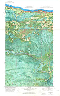
1970 · Manitou
USGS Topo · 1:24,000
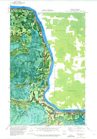
1970 · Loman
USGS Topo · 1:24,000
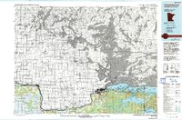
1978 · International Falls
USGS Topo · 1:100,000
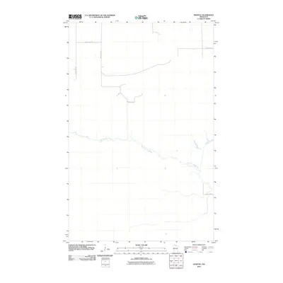
2010 · Manitou
USGS Topo · 1:24,000
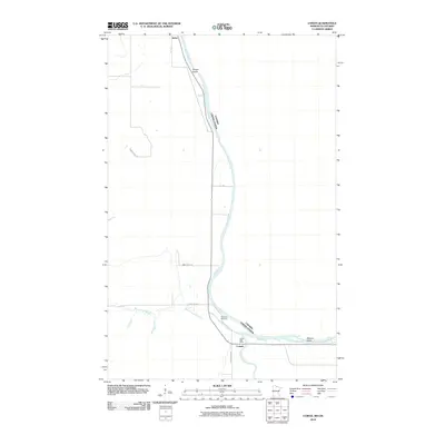
2010 · Loman
USGS Topo · 1:24,000