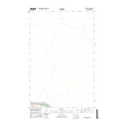
2016 Map of Loman OE N
USGS Topo · Published 2016About this map
The Rainy River forms a natural international border, separating Koochiching County, Minnesota, from Ontario, Canada, in this mid-2010s survey. On the American side, the small settlement of Indus is established near the riverbanks, served by the Indus Cem and connected by E Co Rd 83. The landscape is defined by the convergence of several waterways, including Everett Cr and Boucher Cr, which drain northward toward the international boundary. Across the water in Canada, the La Vallée River meanders through the terrain, illustrating the shared hydrological character of this borderland region. The map captures the quiet, rural nature of these frontier townships where transportation and settlement patterns are closely tied to the river's course.
Find a feature on this map
12 named features on this map. Tap any name to fly to it.
Don’t see what you’re looking for? This feature index may not catch every label — zoom into the map to look around manually.
Map Details
Editions of this 2016 Loman OE N Map
This is the sole edition of this map. No revisions or reprints were ever made.
Other maps of this area

1919 · Pelland
USGS Topo · 1:62,500

1954 · International Falls
USGS Topo · 1:250,000

1957 · International Falls
USGS Topo · 1:250,000

1958 · International Falls
USGS Topo · 1:250,000

1970 · Devlin
USGS Topo · 1:24,000
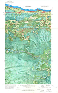
1970 · Manitou
USGS Topo · 1:24,000
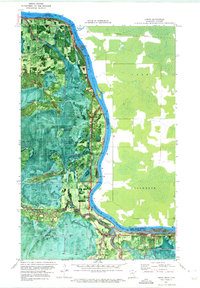
1970 · Loman
USGS Topo · 1:24,000
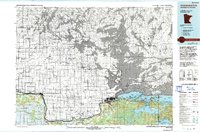
1978 · International Falls
USGS Topo · 1:100,000
2010 · Manitou
USGS Topo · 1:24,000
2010 · Loman
USGS Topo · 1:24,000