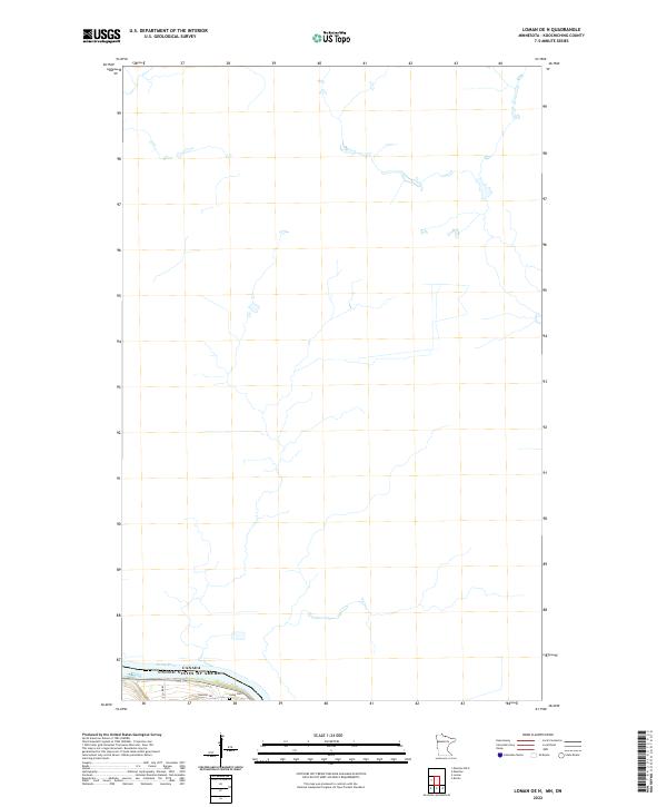
2022 Map of Loman OE N
USGS Topo · Published 2022About this map
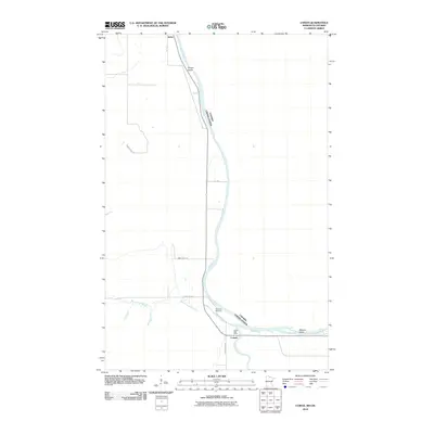
The Rainy River defines the international boundary between Canada and the United States in this northern stretch of Koochiching County. The landscape is primarily defined by the hydrography and jurisdictional boundaries of t160n r25w and t159n r25w. Significant for local family historians, the Indus Cem is located near the southern bank of the river, positioned between E Co Rd 83 and Town Rd 297. The map illustrates a sparse settlement pattern characteristic of the border region, where infrastructure is concentrated near the river corridor and the arterial connections that support this remote section of Minnesota.
Find a feature on this map
7 named features on this map. Tap any name to fly to it.
Don’t see what you’re looking for? This feature index may not catch every label — zoom into the map to look around manually.
Map Details
Editions of this 2022 Loman OE N Map
This is the sole edition of this map. No revisions or reprints were ever made.
Other maps of this area

1919 · Pelland
USGS Topo · 1:62,500

1954 · International Falls
USGS Topo · 1:250,000

1957 · International Falls
USGS Topo · 1:250,000

1958 · International Falls
USGS Topo · 1:250,000

1970 · Devlin
USGS Topo · 1:24,000
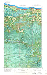
1970 · Manitou
USGS Topo · 1:24,000
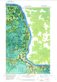
1970 · Loman
USGS Topo · 1:24,000
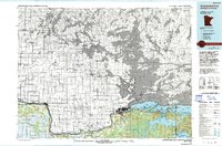
1978 · International Falls
USGS Topo · 1:100,000
2010 · Manitou
USGS Topo · 1:24,000
2010 · Loman
USGS Topo · 1:24,000