1964 Map of Lomax
USGS Topo · Published 1965About this map
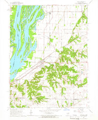
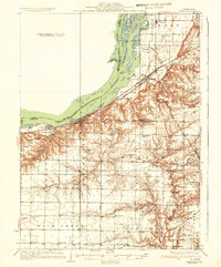
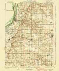
The Mississippi River creates a complex landscape of islands and side channels in this mid-1960s study, where the borders of Iowa and Illinois meet. The village of Lomax serves as a critical rail junction, situated where the Chicago Burlington and Quincy and the Atchison Topeka and Santa Fe railroads converge near Iowa Junction. The bottomlands are defined by the winding Shokokon Slough and numerous named water bodies like Millman Lake and Fish Lake, illustrating the river's historical influence on the topography before modern levee management fully stabilized the banks.
Find a feature on this map
49 named features on this map. Tap any name to fly to it.
Don’t see what you’re looking for? This feature index may not catch every label — zoom into the map to look around manually.
Map Details
Editions of this 1964 Lomax Map
This is the sole edition of this map. No revisions or reprints were ever made.
Other maps of this area
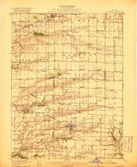
1918 · La Harpe
USGS Topo · 1:62,500
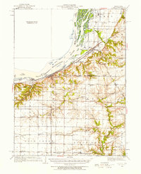
1932 · Lomax
USGS Topo · 1:62,500
1934 · Oquawka
USGS Topo · 1:48,000

1934 · Burlington
USGS Topo · 1:48,000
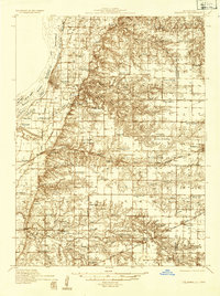
1937 · Lomax
USGS Topo · 1:62,500
1940 · Oquawka
USGS Topo · 1:62,500

1940 · Burlington
USGS Topo · 1:62,500

1958 · Burlington
USGS Topo · 1:250,000

1961 · Burlington
USGS Topo · 1:250,000

1963 · Burlington
USGS Topo · 1:250,000