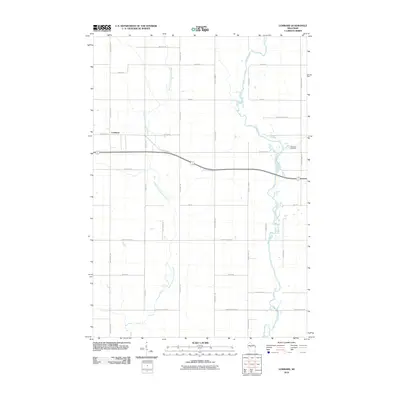
2010 Map of Lombard
USGS Topo · Published 2010About this map
The South Fork Eau Claire River and the Black River define the hydrography of this Clark County landscape, where rural road networks follow a strict grid typical of the Midwest. The settlement of Lombard serves as a central point along County Hwy-X, illustrating the transition of small Wisconsin communities into the early 21st century. Land use is reflected in historically descriptive road names like Colby Factory Rd and French Town Ave, which hint at the agricultural processing and ethnic settlement patterns that shaped the region. Near the eastern edge, Riverside Cemetery provides a primary point of interest for genealogists tracing local families. The map captures a period of modern stability in these townships, showing the endurance of family-named thoroughfares such as Bachelors Ave and Bruckshlager Rd amidst the river valleys.
Find a feature on this map
25 named features on this map. Tap any name to fly to it.
Don’t see what you’re looking for? This feature index may not catch every label — zoom into the map to look around manually.
Map Details
Editions of this 2010 Lombard Map
This is the sole edition of this map. No revisions or reprints were ever made.
Other maps of this area

1951 · Lublin
USGS Topo · 1:48,000

1951 · Gilman
USGS Topo · 1:62,500

1952 · Stanley
USGS Topo · 1:62,500

1953 · Owen
USGS Topo · 1:48,000

1953 · Eau Claire
USGS Topo · 1:250,000

1953 · Rice Lake
USGS Topo · 1:250,000

1958 · Eau Claire
USGS Topo · 1:250,000

1959 · Rice Lake
USGS Topo · 1:250,000

1963 · Owen
USGS Topo · 1:62,500

1964 · Eau Claire
USGS Topo · 1:250,000