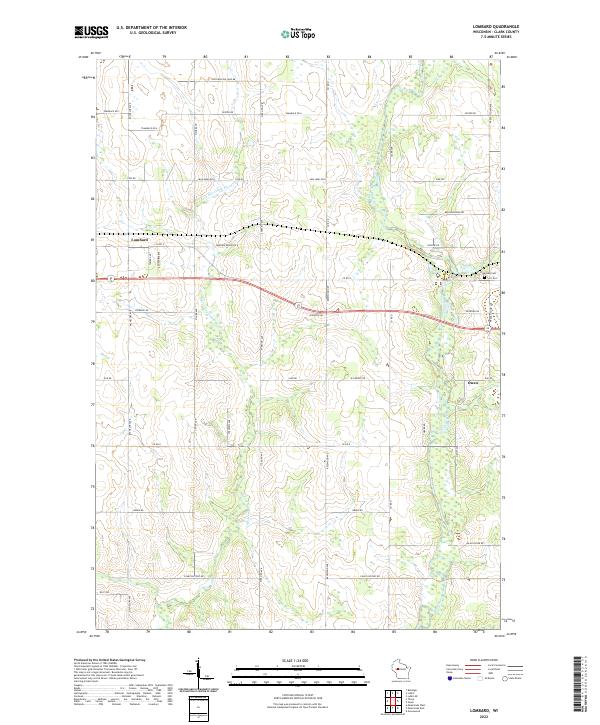
2022 Map of Lombard
USGS Topo · Published 2022About this map
The unincorporated community of Lombard and the western edge of Owen occupy this section of Clark County, where the landscape is defined by the winding course of the S Fork Eau Claire River and the Black River. The area exhibits a rigid grid of rural roads, including Bachelors Ave, Sterling Ave, and French Town Ave, which carve through the wooded terrain and agricultural fields. This survey captures the infrastructure of the early 21st century, showing how modern transportation routes like Co RD X and Hixwood RD connect these rural settlements. Local history is anchored by sites like Riverside Cem near the riverbanks, while unique local names like Pussywillow Lane 8B and Colby Factory Rd hint at the specific industrial and natural character of this Wisconsin interior.
Find a feature on this map
38 named features on this map. Tap any name to fly to it.
Don’t see what you’re looking for? This feature index may not catch every label — zoom into the map to look around manually.
Map Details
Editions of this 2022 Lombard Map
This is the sole edition of this map. No revisions or reprints were ever made.
Other maps of this area

1951 · Lublin
USGS Topo · 1:48,000

1951 · Gilman
USGS Topo · 1:62,500

1952 · Stanley
USGS Topo · 1:62,500

1953 · Owen
USGS Topo · 1:48,000

1953 · Eau Claire
USGS Topo · 1:250,000

1953 · Rice Lake
USGS Topo · 1:250,000

1958 · Eau Claire
USGS Topo · 1:250,000

1959 · Rice Lake
USGS Topo · 1:250,000

1963 · Owen
USGS Topo · 1:62,500

1964 · Eau Claire
USGS Topo · 1:250,000