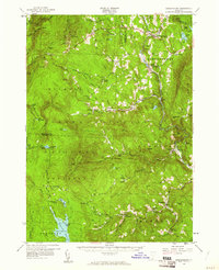
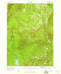
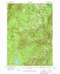
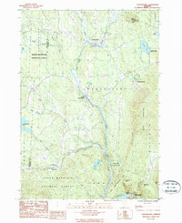
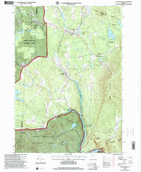
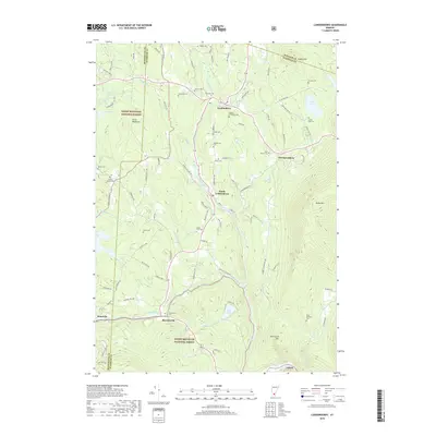
1957 Map of Londonderry
USGS Topo · Published 1961About this map
The Green Mountain National Forest dominates this mid-century landscape, where the rugged topography of the Green Mountains is marked by early outdoor recreation and historic footpaths. This survey highlights the Long Trail (Appalachian Trail) as it traverses peaks like Bromley Mountain and Stratton Mountain, reflecting the area's transition into a premier skiing and hiking destination. Established recreation spots like Snow Valley Ski Area and Big Bromley Ski Area appear alongside the expansive Somerset Reservoir and the Daniel Webster Historical Mon, signaling a balance between preserved wilderness and managed timberland within the Hapgood State Forest.
Find a feature on this map
106 named features on this map. Tap any name to fly to it.
Don’t see what you’re looking for? This feature index may not catch every label — zoom into the map to look around manually.
Map Details
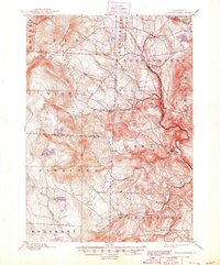
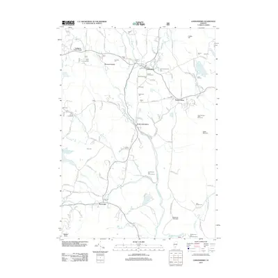
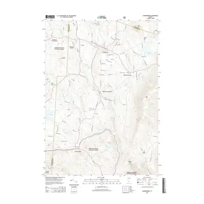
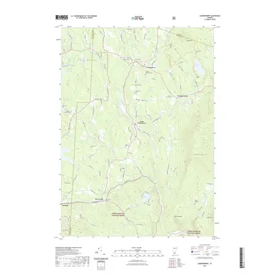
Editions of this 1957 Londonderry Map
3 editions found
Historical Maps of Dorset Through Time
10 maps found

1894 Londonderry
Windham County, VT
1899 Londonderry
Windham County, VT
1957 Londonderry
Windham County, VT
1986 Londonderry
Windham County, VT
1997 Londonderry
Windham County, VT
2012 Londonderry
Windham County, VT
2015 Londonderry
Windham County, VT
2018 Londonderry
Windham County, VT
2021 Londonderry
Windham County, VT
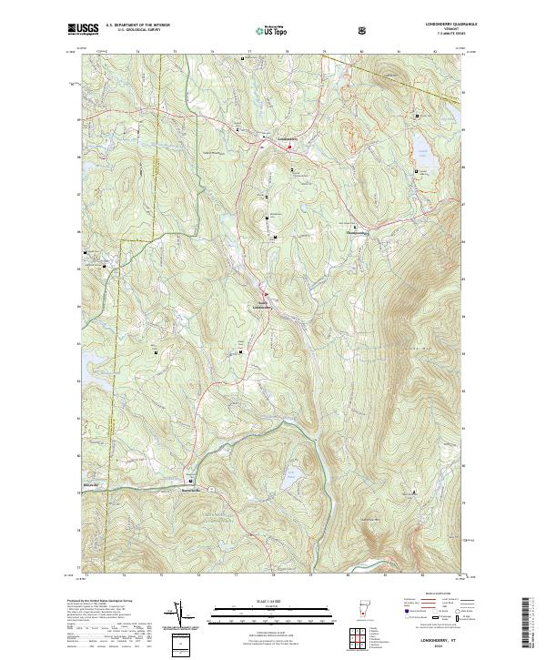
2024 Londonderry
Windham County, VT