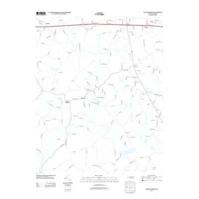
2013 Map of Lone Hickory
USGS Topo · Published 2013About this map
Lone Hickory and Footville serve as central points in this rural landscape within Yadkin County, where the topography is defined by the gentle elevations of the Brandon Hills. This 2013 survey illustrates a region where small-scale aviation and public infrastructure intersect with a historic agricultural grid, noted by the presence of Piney Ridge Airport, Lone Hickory Airport, and Prison Unit Number 068. The drainage pattern is dense and intricate, with Dutchman Creek and Cain Mill Branch carving through the terrain alongside South Deep Creek. The road network, including Old US 421 Highway West and Bethel Church Road, connects these disparate settlements and watercourses, reflecting a community structured around its creeks and traditional corridors.
Find a feature on this map
152 named features on this map. Tap any name to fly to it.
Don’t see what you’re looking for? This feature index may not catch every label — zoom into the map to look around manually.
Map Details
Editions of this 2013 Lone Hickory Map
This is the sole edition of this map. No revisions or reprints were ever made.
Other maps of this area

1891 · Yadkinville
USGS Topo · 1:125,000

1893 · Statesville
USGS Topo · 1:125,000

1893 · Yadkinville
USGS Topo · 1:125,000

1953 · Charlotte
USGS Topo · 1:250,000

1953 · Winston-Salem
USGS Topo · 1:250,000

1954 · Charlotte
USGS Topo · 1:250,000

1955 · Winston-Salem
USGS Topo · 1:250,000

1960 · Charlotte
USGS Topo · 1:250,000

1962 · Winston-Salem
USGS Topo · 1:250,000

1962 · Charlotte
USGS Topo · 1:250,000