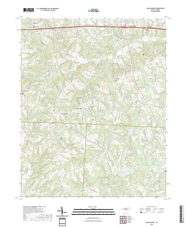
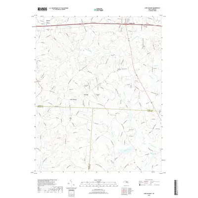
2022 Map of Lone Hickory
USGS Topo · Published 2022About this map
Yadkinville sits at the northern edge of this Piedmont landscape, where the headwaters of South Deep Creek and Dutchman Creek carve through the terrain. The map records a rural network of family and community landmarks, including the Branon Friends Meeting Cem near Branon and the Bethel Baptist Church Cem. Small aviation facilities like Piney Ridge Airport and Lone Hickory Airport are situated near the settlements of Footville and Lone Hickory. This area is defined by its jurisdictional boundaries, showing the meeting point of Yadkin, Iredell, and Davie counties. The road system, including Old US Hwy 421 and Tobacco Rd, connects these longstanding rural communities and their local cemeteries, such as Sandy Springs Cem and South Oak Ridge Cem.
Find a feature on this map
92 named features on this map. Tap any name to fly to it.
Don’t see what you’re looking for? This feature index may not catch every label — zoom into the map to look around manually.
Map Details
Editions of this 2022 Lone Hickory Map
This is the sole edition of this map. No revisions or reprints were ever made.
Historical Maps of Yadkinville Through Time
21 maps found

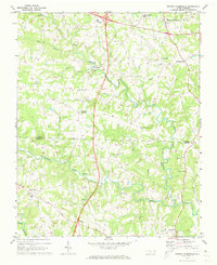
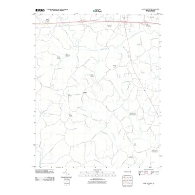
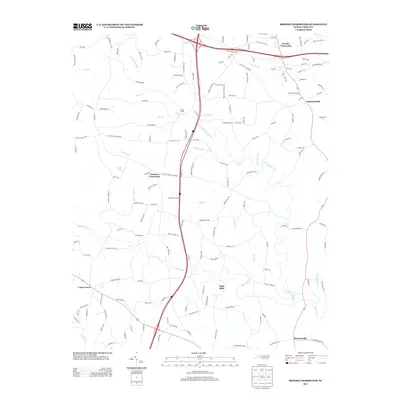
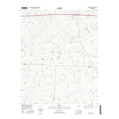
1966 Lone Hickory
Yadkin County, NC
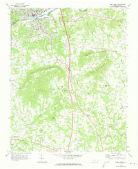
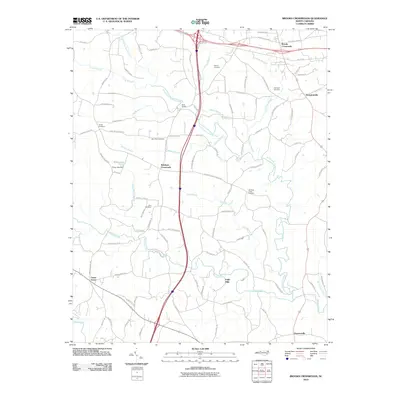
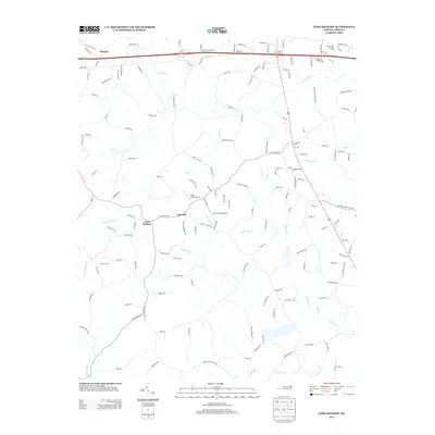
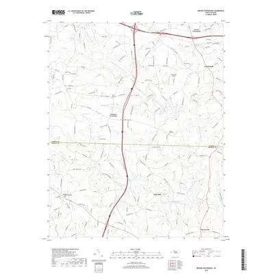
1970 Brooks Crossroads
Yadkin County, NC
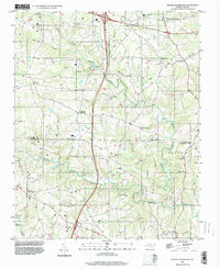
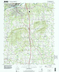
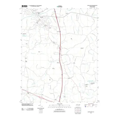
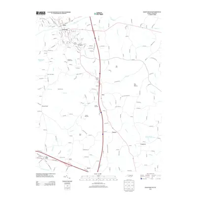
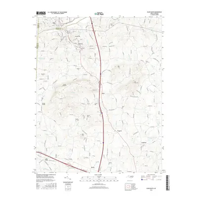
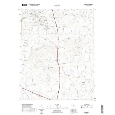
1971 Elkin South
Yadkin County, NC

1976 Elkin South
Yadkin County, NC
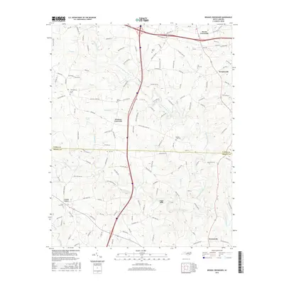
1996 Brooks Crossroads
Yadkin County, NC
1996 Elkin South
Yadkin County, NC
2010 Brooks Crossroads
Yadkin County, NC
2010 Elkin South
Yadkin County, NC
2010 Lone Hickory
Yadkin County, NC
2013 Brooks Crossroads
Yadkin County, NC
2013 Elkin South
Yadkin County, NC
2013 Lone Hickory
Yadkin County, NC
2016 Brooks Crossroads
Yadkin County, NC
2016 Elkin South
Yadkin County, NC
2016 Lone Hickory
Yadkin County, NC
2019 Brooks Crossroads
Yadkin County, NC
2019 Elkin South
Yadkin County, NC
2019 Lone Hickory
Yadkin County, NC
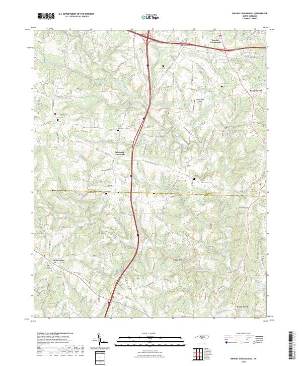
2022 Brooks Crossroads
Yadkin County, NC
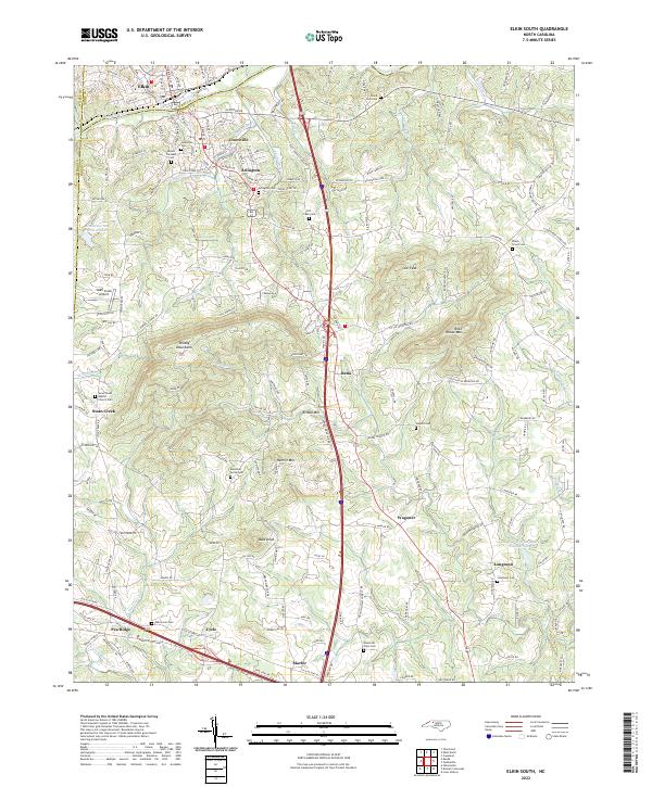
2022 Elkin South
Yadkin County, NC
2022 Lone Hickory
Yadkin County, NC