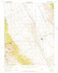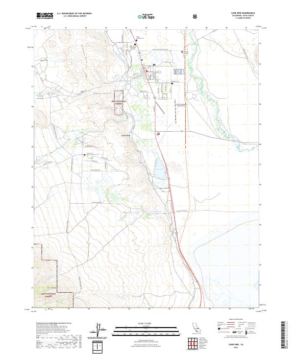
1994 Map of Lone Pine
USGS Topo · Published 1997About this map
Lone Pine serves as the focal point of this Eastern Sierra landscape, situated between the dramatic boulder formations of the Alabama Hills and the receding shoreline of Owens Lake. The map illustrates a complex water management infrastructure, most notably the Los Angeles Aqueduct winding along the valley floor and the Los Angeles City Boundary extending far into the Owens Valley. Local history is deeply etched into the town's geography through several burial sites, including Mt Whitney Cem, the Old Lone Pine Cem, and Pioneer Cem. Transportation networks such as the Southern Pacific railroad and the Lone Pine Airport highlight the area's role as a regional transit hub. Recreation and cinema history are also evident, with Movie Road and the Diaz Lake Recreation Area providing modern utility to this high-desert environment.
Find a feature on this map
42 named features on this map. Tap any name to fly to it.
Don’t see what you’re looking for? This feature index may not catch every label — zoom into the map to look around manually.
Map Details
Editions of this 1994 Lone Pine Map
This is the sole edition of this map. No revisions or reprints were ever made.
Historical Maps of Lone Pine Through Time
7 maps found