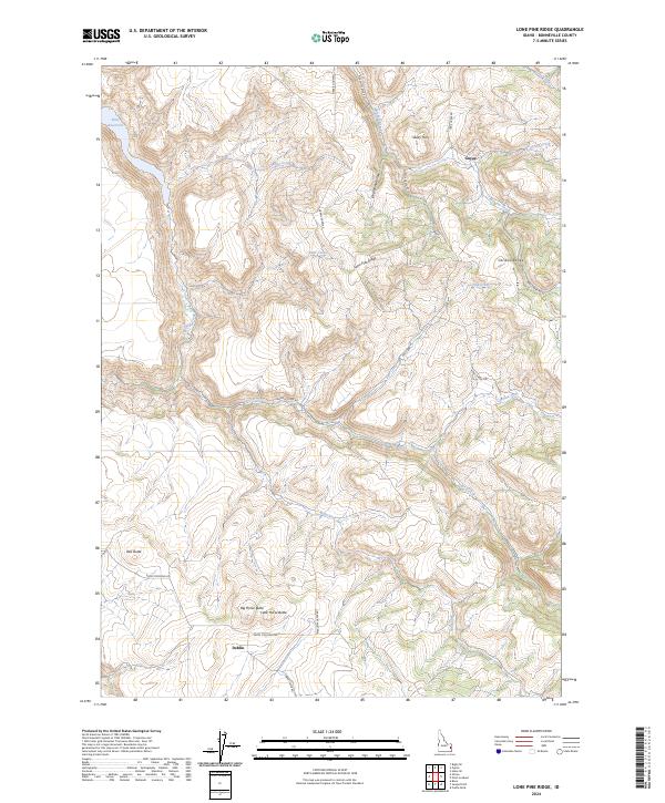
2024 Map of Lone Pine Ridge
USGS Topo · Published 2024About this map
Lone Pine Ridge and the northeastern foothills of the Caribou Range define the landscape of this Bonneville County region. The topography is dominated by dramatic basaltic and volcanic rises, most notably the twin peaks of Big Horse Butte and Little Horse Butte in the southern portion, alongside the prominent Red Butte. To the northwest, the map captures the eastern edge of the Ririe Reservoir, a critical water management feature fed by a network of drainages including Willow Creek and Tex Creek.
Find a feature on this map
30 named features on this map. Tap any name to fly to it.
Don’t see what you’re looking for? This feature index may not catch every label — zoom into the map to look around manually.
Map Details
Editions of this 2024 Lone Pine Ridge Map
This is the sole edition of this map. No revisions or reprints were ever made.
Other maps of this area

1924 · Hell Creek
USGS Topo · 1:62,500

1924 · Ammon
USGS Topo · 1:62,500

1926 · Hell Creek
USGS Topo · 1:62,500

1950 · Rigby
USGS Topo · 1:62,500

1950 · Rigby SE
USGS Topo · 1:24,000

1951 · Rigby SE
USGS Topo · 1:24,000

1951 · Poplar
USGS Topo · 1:24,000

1951 · Heise SE
USGS Topo · 1:24,000

1955 · Driggs
USGS Topo · 1:250,000

1958 · Driggs
USGS Topo · 1:250,000