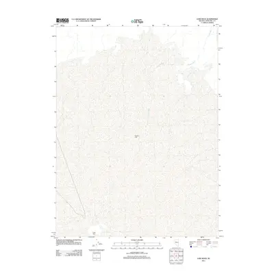
2011 Map of Lone Rock
USGS Topo · Published 2011About this map
Carson Sink dominates this interior portion of Churchill County, representing the remnants of an ancient terminal lake where water has no outlet to the sea. The landscape is defined by its arid, flat terrain and intermittent watercourses like Packard Wash, which cut through the salt crust and silt of the basin floor. At the southern edge of this expansive playa lies the isolated settlement of Lone Rock, a lonely landmark in a region characterized by shifting sands and seasonal hydrology. This 2011 survey, produced by the U.S. Geological Survey, reflects the persistent emptiness of the Nevada desert, where survival depends on the rare topographic features that break the horizon and the occasional presence of water in a land defined by evaporation.
Find a feature on this map
3 named features on this map. Tap any name to fly to it.
Don’t see what you’re looking for? This feature index may not catch every label — zoom into the map to look around manually.
Map Details
Editions of this 2011 Lone Rock Map
This is the sole edition of this map. No revisions or reprints were ever made.
Other maps of this area

1908 · Carson Sink
USGS Topo · 1:250,000

1910 · Carson Sink
USGS Topo · 1:250,000

1931 · Lovelock
USGS Topo · 1:250,000

1935 · Lovelock
USGS Topo · 1:250,000

1954 · Buffalo Mtn
USGS Topo · 1:62,500

1955 · Lovelock
USGS Topo · 1:250,000

1956 · Lovelock
USGS Topo · 1:62,500

1957 · Reno
USGS Topo · 1:250,000

1959 · Lovelock
USGS Topo · 1:250,000

1959 · Reno
USGS Topo · 1:250,000