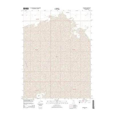
2014 Map of Lone Rock
USGS Topo · Published 2014About this map
Carson Sink dominates this interior portion of the Lahontan Basin in Churchill County, depicting an environment where water and terrain are in constant flux. The landscape is defined by the ephemeral Packard Wash to the northeast and the distinctive geological outcrop of Lone Rock at the southern edge. This 2014 survey captures the vast, sparsely vegetated salt crust and playa of the Sink, a region shaped by the drainage of the Carson and Humboldt Rivers. The map provides a precise layout of the Public Land Survey System, including the boundaries of t24n r32e and t24n r33e, which are essential for land-use historians and researchers tracking the transition of these Great Basin alkali flats.
Find a feature on this map
9 named features on this map. Tap any name to fly to it.
Don’t see what you’re looking for? This feature index may not catch every label — zoom into the map to look around manually.
Map Details
Editions of this 2014 Lone Rock Map
This is the sole edition of this map. No revisions or reprints were ever made.
Other maps of this area

1908 · Carson Sink
USGS Topo · 1:250,000

1910 · Carson Sink
USGS Topo · 1:250,000

1931 · Lovelock
USGS Topo · 1:250,000

1935 · Lovelock
USGS Topo · 1:250,000

1954 · Buffalo Mtn
USGS Topo · 1:62,500

1955 · Lovelock
USGS Topo · 1:250,000

1956 · Lovelock
USGS Topo · 1:62,500

1957 · Reno
USGS Topo · 1:250,000

1959 · Lovelock
USGS Topo · 1:250,000

1959 · Reno
USGS Topo · 1:250,000