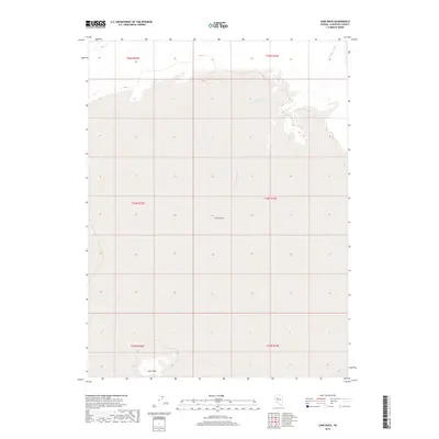
2018 Map of Lone Rock
USGS Topo · Published 2018About this map
Carson Sink dominates this interior landscape of Churchill County, where the desert floor is shaped by ephemeral water systems and sparse topographical relief. The map illustrates a vast, low-lying basin characterized by the drainage of Packard Wash as it moves through the northern sections of the quadrangle. This area represents the terminal end of a complex hydrological system, where water typically evaporates rather than reaching the sea. In the southern reach of the survey, the namesake Lone Rock stands as a solitary geographic marker amidst the flat terrain. The lack of built infrastructure or settlements highlight the remote character of this desert basin, which remains defined by its natural drainage patterns and the township and range grid lines of the Public Land Survey System.
Find a feature on this map
9 named features on this map. Tap any name to fly to it.
Don’t see what you’re looking for? This feature index may not catch every label — zoom into the map to look around manually.
Map Details
Editions of this 2018 Lone Rock Map
This is the sole edition of this map. No revisions or reprints were ever made.
Other maps of this area

1908 · Carson Sink
USGS Topo · 1:250,000

1910 · Carson Sink
USGS Topo · 1:250,000

1931 · Lovelock
USGS Topo · 1:250,000

1935 · Lovelock
USGS Topo · 1:250,000

1954 · Buffalo Mtn
USGS Topo · 1:62,500

1955 · Lovelock
USGS Topo · 1:250,000

1956 · Lovelock
USGS Topo · 1:62,500

1957 · Reno
USGS Topo · 1:250,000

1959 · Lovelock
USGS Topo · 1:250,000

1959 · Reno
USGS Topo · 1:250,000