Loading...
Loading map...2022 Map of Lone Rock
USGS Topo · Published 2022About this map
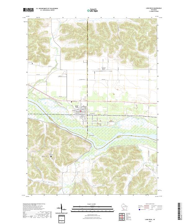
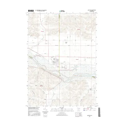
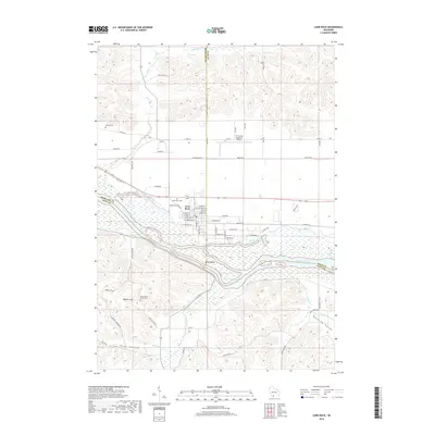
The Wisconsin River serves as the central geological and political artery of this area, defining the border between Sauk, Richland, and Iowa counties. The village of Lone Rock sits at the northern edge of the river valley, where the flat, sandy floodplain transitions into the steep bluffs of the Driftless Area. This landscape is characterized by complex hydrology, including the Cruson Slough and Bakkens Pond, which are remnants of the river's shifting path over time.
Find a feature on this map
54 named features on this map. Tap any name to fly to it.
Don’t see what you’re looking for? This feature index may not catch every label — zoom into the map to look around manually.
Map Details
Date Portrayed2022
Date Published2022
PublisherU.S. Geological Survey
Map TypeTopographic
Scale1:24,000
Physical Dimensions24 x 29 inches
Editions of this 2022 Lone Rock Map
This is the sole edition of this map. No revisions or reprints were ever made.
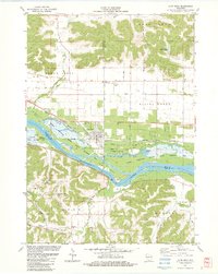
Historical Maps of Lone Rock Through Time
6 maps found
Featured Locations
Source Details
SourceU.S. Geological Survey
CopyrightPublic Domain