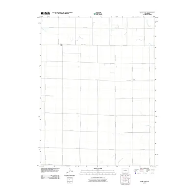
2010 Map of Lone Star
USGS Topo · Published 2010About this map
Lone Star and the surrounding high plains of Washington County appear here in a systematic grid of agricultural development. The landscape is defined by its rectilinear road network, including the intersection of County Road XX and County Road 54, which serves as the primary artery for this rural community. Water drainage is sparse but critical, represented by the meandering courses of Rock Creek, Red Willow Creek, and Surveyor Creek as they cut through the dry terrain. Local heritage is centered at the Schlake Cemetery, located along County Road 52, providing a specific point of interest for genealogists tracing families in this part of eastern Colorado. This survey illustrates the persistence of a remote ranching and farming region where the infrastructure is entirely dictated by the section-line roads, such as County Road YY and County Road AAA.
Find a feature on this map
23 named features on this map. Tap any name to fly to it.
Don’t see what you’re looking for? This feature index may not catch every label — zoom into the map to look around manually.
Map Details
Editions of this 2010 Lone Star Map
This is the sole edition of this map. No revisions or reprints were ever made.
Other maps of this area

1954 · Sterling
USGS Topo · 1:250,000

1958 · Sterling
USGS Topo · 1:250,000

1972 · Clarkville
USGS Topo · 1:24,000

1972 · New Haven
USGS Topo · 1:24,000

1972 · Glacken Hill
USGS Topo · 1:24,000

1972 · Otis
USGS Topo · 1:24,000

1972 · Hyde
USGS Topo · 1:24,000

1972 · Lone Star
USGS Topo · 1:24,000

1972 · Clarkville SW
USGS Topo · 1:24,000

1972 · Burdett
USGS Topo · 1:24,000