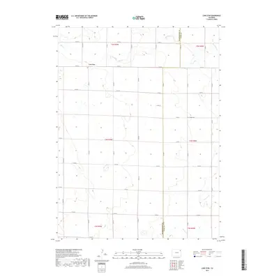
2019 Map of Lone Star
USGS Topo · Published 2019About this map
Lone Star and its surrounding High Plains landscape are defined by a rhythmic grid of section lines and county roads, reflecting the legacy of the Public Land Survey System. Situated along the boundary between Washington and Yuma Counties, this area remains deeply rooted in agricultural heritage. Waterways like Rock Cr in the north and Surveyor Cr to the south cut across the landscape, providing essential drainage in this open country. A key historical marker is the Schlake Cem, a small burial ground located along Co RD 52 that serves as a tangible link to the early families who settled this portion of northeastern Colorado. The map meticulously documents the extensive road network, from Co RD WW to Co RD D, which connects the scattered homesteads and section corners of these rural townships.
Find a feature on this map
31 named features on this map. Tap any name to fly to it.
Don’t see what you’re looking for? This feature index may not catch every label — zoom into the map to look around manually.
Map Details
Editions of this 2019 Lone Star Map
This is the sole edition of this map. No revisions or reprints were ever made.
Other maps of this area

1954 · Sterling
USGS Topo · 1:250,000

1958 · Sterling
USGS Topo · 1:250,000

1972 · Clarkville
USGS Topo · 1:24,000

1972 · New Haven
USGS Topo · 1:24,000

1972 · Glacken Hill
USGS Topo · 1:24,000

1972 · Otis
USGS Topo · 1:24,000

1972 · Hyde
USGS Topo · 1:24,000

1972 · Lone Star
USGS Topo · 1:24,000

1972 · Clarkville SW
USGS Topo · 1:24,000

1972 · Burdett
USGS Topo · 1:24,000