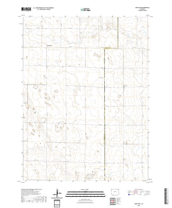
2022 Map of Lone Star
USGS Topo · Published 2022About this map
The small settlement of Lone Star sits at the junction of Co RD 54 and Co RD WW on this eastern Colorado high plains landscape. The terrain is defined by the winding paths of Rock Cr, Red Willow Cr, and Surveyor Cr, which carve shallow drainage patterns through the agricultural sections. A significant boundary line for the Washington Co and Yuma Co border runs north-to-south, bisecting the quadrangle. Local genealogy interest centers on the Schlake Cem, a solitary landmark positioned along Co RD C. The map reveals the rigid section lines of the Public Land Survey System, expressed through an extensive grid of local roads from Co RD 55 down to Co RD 47, illustrating the systematic division of the land for ranching and dryland farming in the 21st century.
Find a feature on this map
30 named features on this map. Tap any name to fly to it.
Don’t see what you’re looking for? This feature index may not catch every label — zoom into the map to look around manually.
Map Details
Editions of this 2022 Lone Star Map
This is the sole edition of this map. No revisions or reprints were ever made.
Other maps of this area

1954 · Sterling
USGS Topo · 1:250,000

1958 · Sterling
USGS Topo · 1:250,000

1972 · Clarkville
USGS Topo · 1:24,000

1972 · New Haven
USGS Topo · 1:24,000

1972 · Glacken Hill
USGS Topo · 1:24,000

1972 · Otis
USGS Topo · 1:24,000

1972 · Hyde
USGS Topo · 1:24,000

1972 · Lone Star
USGS Topo · 1:24,000

1972 · Clarkville SW
USGS Topo · 1:24,000

1972 · Burdett
USGS Topo · 1:24,000