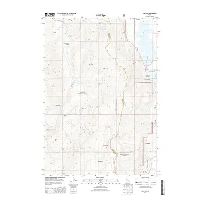
2013 Map of Lone Tree
USGS Topo · Published 2013About this map
Payette National Forest and Boise National Forest meet in this high-altitude landscape dominated by the ridgeline between the Middle Fork Weiser River and the Little Weiser River. The geography is defined by prominent landmarks like Lone Tree and Mica Ridge, with the eastern edge of the map dropping toward Long Valley and the shoreline of Lake Cascade. Recreational access points such as Rainbow Point Campground and Amanita Campground offer glimpses into the modern land use of these timberlands. The western terrain is deeply incised by drainages like No Business Canyon and Hubbard Basin, illustrating the complex watershed divide that separates the Weiser and Payette river systems. Forest Service routes, including Nat For Dev Rd 245 and Nat For Dev Rd 206, provide the primary infrastructure through the backcountry.
Find a feature on this map
36 named features on this map. Tap any name to fly to it.
Don’t see what you’re looking for? This feature index may not catch every label — zoom into the map to look around manually.
Map Details
Editions of this 2013 Lone Tree Map
This is the sole edition of this map. No revisions or reprints were ever made.
Other maps of this area

1911 · Meadows
USGS Topo · 1:125,000

1954 · Council
USGS Topo · 1:62,500

1954 · New Meadows
USGS Topo · 1:62,500

1954 · Cascade
USGS Topo · 1:62,500

1955 · Baker
USGS Topo · 1:250,000

1959 · Baker
USGS Topo · 1:250,000
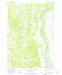
1973 · No Business Mtn
USGS Topo · 1:24,000
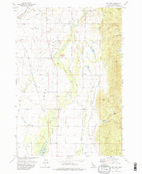
1973 · Lake Fork
USGS Topo · 1:24,000

1980 · McCall
USGS Topo · 1:100,000
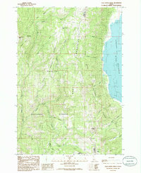
1985 · Cold Spring Ridge
USGS Topo · 1:24,000