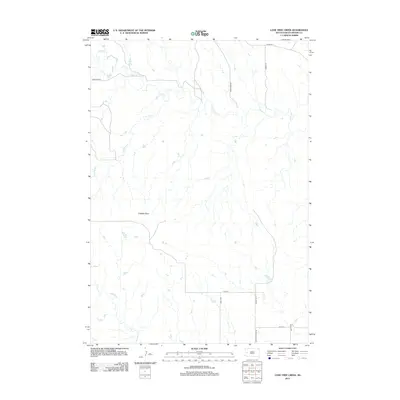
2012 Map of Lone Tree Creek
USGS Topo · Published 2012About this map
Costello Point rises as a prominent landmark in this segment of Meade County, where the drainage patterns of the western plains are clearly etched across the landscape. The geography is defined by the winding paths of Alkali Cr and Lone Tree Cr, which snake through the territory alongside Antelope Cr to the south. This area, recorded in 2012, shows a rural infrastructure where ranching life is reflected in the naming of thoroughfares like Star Ranch Rd and Hardgrass Pl. The map reveals the intersection of local routes such as Co Hwy Mc-17 and Antelope Creek Rd, providing a detailed look at the section lines and rural access points that have organized this territory for generations.
Find a feature on this map
14 named features on this map. Tap any name to fly to it.
Don’t see what you’re looking for? This feature index may not catch every label — zoom into the map to look around manually.
Map Details
Editions of this 2012 Lone Tree Creek Map
This is the sole edition of this map. No revisions or reprints were ever made.
Other maps of this area

1893 · Rapid
USGS Topo · 1:125,000

1898 · Rapid
USGS Topo · 1:125,000

1903 · Rapid
USGS Topo · 1:125,000

1953 · Bend
USGS Topo · 1:24,000

1953 · Rapid City 1 SW
USGS Topo · 1:24,000

1953 · Rapid City 1 NW
USGS Topo · 1:24,000

1953 · Hereford
USGS Topo · 1:24,000

1953 · Rapid City NW
USGS Topo · 1:24,000

1953 · Hereford SW
USGS Topo · 1:24,000

1953 · Rapid City 1 NE
USGS Topo · 1:24,000