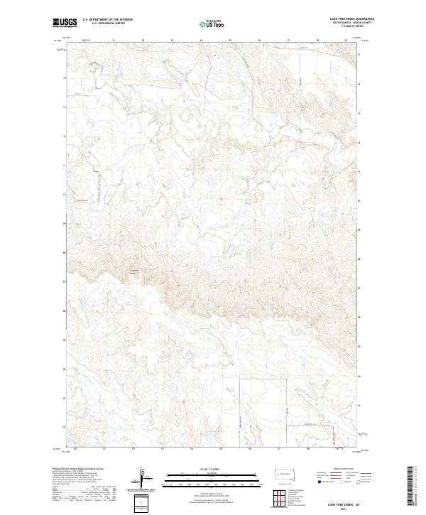
2021 Map of Lone Tree Creek
USGS Topo · Published 2021About this map
Costello Point rises above the drainage networks of central Meade County, where the high plains are carved by seasonal waterways and winding rural routes. This landscape is defined by the three primary drainages of Alkali Cr, Lone Tree Cr, and Antelope Cr, which shape the ranching territory north of the Black Hills. The road network reflects the large-scale landholdings of the region, featuring named corridors such as Star Ranch Rd and Cowboy Rd that connect isolated homesteads and pastures. Modern surveying by the U.S. Geological Survey details the township and range divisions, illustrating how the Public Land Survey System continues to organize the open rangelands of South Dakota. The topography is a study in western drainage patterns, where subtle elevation changes guide the flow of intermittent creeks across the prairie.
Find a feature on this map
18 named features on this map. Tap any name to fly to it.
Don’t see what you’re looking for? This feature index may not catch every label — zoom into the map to look around manually.
Map Details
Editions of this 2021 Lone Tree Creek Map
This is the sole edition of this map. No revisions or reprints were ever made.
Other maps of this area

1893 · Rapid
USGS Topo · 1:125,000

1898 · Rapid
USGS Topo · 1:125,000

1903 · Rapid
USGS Topo · 1:125,000

1953 · Bend
USGS Topo · 1:24,000

1953 · Rapid City 1 SW
USGS Topo · 1:24,000

1953 · Rapid City 1 NW
USGS Topo · 1:24,000

1953 · Hereford
USGS Topo · 1:24,000

1953 · Rapid City NW
USGS Topo · 1:24,000

1953 · Hereford SW
USGS Topo · 1:24,000

1953 · Rapid City 1 NE
USGS Topo · 1:24,000