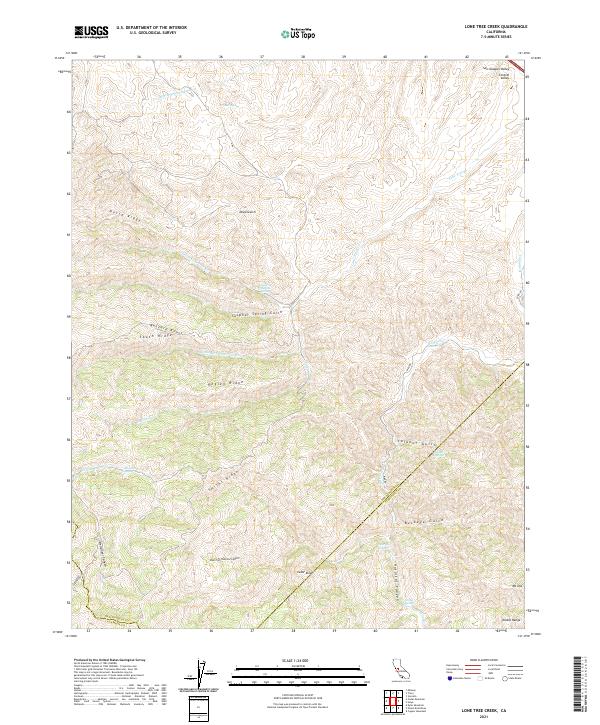
2021 Map of Lone Tree Creek
USGS Topo · Published 2021About this map
The Hetch Hetchy Aqueduct cuts across the northern landscape of this region where the San Joaquin Valley meets the rising terrain of the Diablo Range. This area is characterized by a complex network of drainage systems including Lone Tree Cr, Hospital Cr, and their various forks and gulches. The prominence of water sources in this dry environment is evident through several named points such as Elder Spring, Bluerock Spring, and the Lone Tree Mineral Spring. Elevation changes are marked by significant landmarks like Mt Oso and Cedar Knob, while the intricate topography of the ridges, including North Ridge, Pegleg Ridge, and Smiths Ridge, creates a rugged corridor of canyons and gulches like Sulphur Spring Gulch and Hellsinger Canyon.
Find a feature on this map
39 named features on this map. Tap any name to fly to it.
Don’t see what you’re looking for? This feature index may not catch every label — zoom into the map to look around manually.
Map Details
Editions of this 2021 Lone Tree Creek Map
This is the sole edition of this map. No revisions or reprints were ever made.
Other maps of this area

1897 · Mt. Hamilton
USGS Topo · 1:62,500

1907 · Tesla
USGS Topo · 1:62,500

1913 · Romain
USGS Topo · 1:31,680

1915 · Vernalis
USGS Topo · 1:31,680

1916 · Tracy
USGS Topo · 1:31,680

1916 · Romain
USGS Topo · 1:31,680

1916 · Midway
USGS Topo · 1:31,680

1922 · Carbona
USGS Topo · 1:62,500

1938 · Mt. Boardman
USGS Topo · 1:62,500

1942 · Mt. Hamilton
USGS Topo · 1:62,500