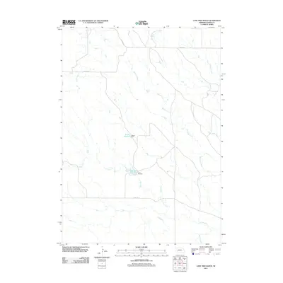
2011 Map of Lone Tree Ranch
USGS Topo · Published 2011About this map
Lone Tree Creek and Messenger Creek dominate this corner of Dawes County, flowing through a landscape defined by ranching and water management. The area is marked by significant hydrological landmarks such as the Lone Tree Reservoir, held by the Lone Tree Dam, and the Bauer Reservoir to the north, which is secured by the Bauer Dam. This network of seasonal and permanent water sources reflects the vital importance of water storage in Nebraska’s high plains.
Find a feature on this map
14 named features on this map. Tap any name to fly to it.
Don’t see what you’re looking for? This feature index may not catch every label — zoom into the map to look around manually.
Map Details
Editions of this 2011 Lone Tree Ranch Map
This is the sole edition of this map. No revisions or reprints were ever made.
Other maps of this area

1896 · Oelrichs
USGS Topo · 1:125,000

1900 · Oelrichs
USGS Topo · 1:125,000

1955 · Hot Springs
USGS Topo · 1:250,000

1955 · Alliance
USGS Topo · 1:250,000

1957 · Alliance
USGS Topo · 1:250,000

1958 · Alliance
USGS Topo · 1:250,000

1980 · Horn
USGS Topo · 1:24,000

1980 · Wolf Butte
USGS Topo · 1:24,000

1980 · Lone Tree Ranch
USGS Topo · 1:24,000

1980 · Wayside
USGS Topo · 1:24,000