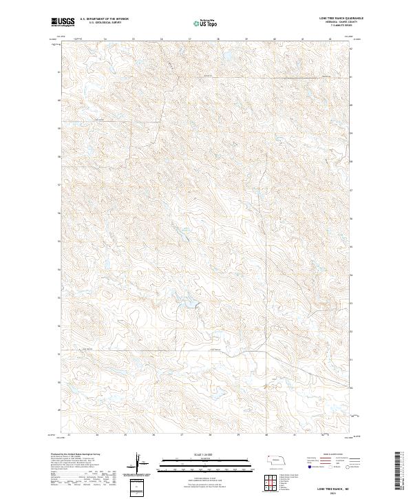
2021 Map of Lone Tree Ranch
USGS Topo · Published 2021About this map
Bauer Reservoir serves as a central landmark within this expansive reach of the Nebraska panhandle, where the high plains landscape is defined by a dendritic network of seasonal drainages. This recent survey captures the ranching character of Dawes County, anchored by the namesake Lone Tree Cr which flows eastward toward the Messenger Cr and Peterson Cr systems. The map illustrates a strictly utilitarian transportation network, where unpaved thoroughfares such as Lone Tree Rd and Wayside Rd provide access through the complex topography of the Cheyenne Tableland. These roads often trace the higher ground between creek beds like Fisher Cr and Middle Cr, revealing how the modern grazing economy continues to operate within the constraints of the region's natural hydrology and section-line boundaries.
Find a feature on this map
15 named features on this map. Tap any name to fly to it.
Don’t see what you’re looking for? This feature index may not catch every label — zoom into the map to look around manually.
Map Details
Editions of this 2021 Lone Tree Ranch Map
This is the sole edition of this map. No revisions or reprints were ever made.
Other maps of this area

1896 · Oelrichs
USGS Topo · 1:125,000

1900 · Oelrichs
USGS Topo · 1:125,000

1955 · Hot Springs
USGS Topo · 1:250,000

1955 · Alliance
USGS Topo · 1:250,000

1957 · Alliance
USGS Topo · 1:250,000

1958 · Alliance
USGS Topo · 1:250,000

1980 · Horn
USGS Topo · 1:24,000

1980 · Wolf Butte
USGS Topo · 1:24,000

1980 · Lone Tree Ranch
USGS Topo · 1:24,000

1980 · Wayside
USGS Topo · 1:24,000